Transport Functions
Port
Multimodal
Hub Profile
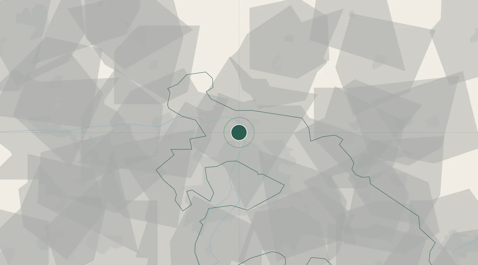
Place type
Populated place
Region
Pest County
Population
4,677
Time zone
Europe/Budapest
Elevation
104 m
Location
Nearby Logistics Neighbours
Cities
- 1Vác4 km
- 2Szodliget4 km
- 3Göd6 km
- 4Szentendre7 km
- 5Verocemaros11 km
Ports
- 1Bakar443 km
- 2Senj445 km
- 3Rijeka Luka447 km
- 4Omisalj448 km
- 5Zaliv Rasa489 km
Airports
- 1Budapest Liszt Ferenc International Airport38 km
- 2Tököl Airport46 km
- 3Győr-Pér Airport98 km
- 4Sliač Airport99 km
- 5Kecskemét Air Base105 km
Trade Zones
- 1Göd Special Economic Zone9 km
- 2Veselí nad Moravou Industrial Zone185 km
- 3Subotica Free Zone190 km
- 4Holešov Industrial Zone210 km
- 5Free Zone Curtici Arad227 km
DatabookThe Record of Consolidated Knowledge
Hungary beyond logistics?