Transport Functions
Rail
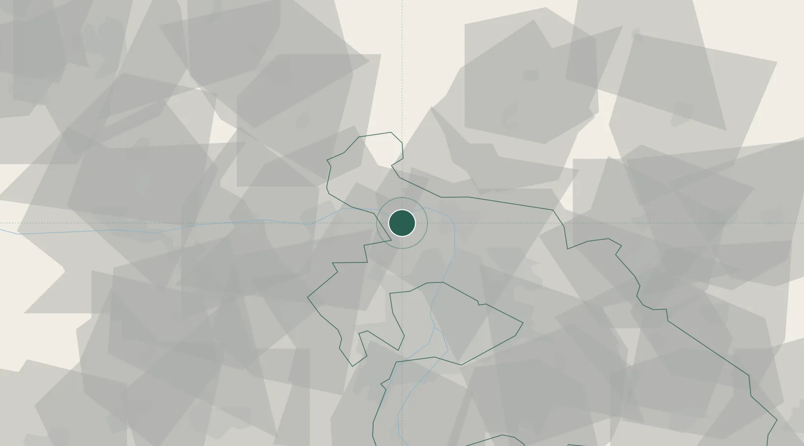
Hub Profile
Place type
Populated place
Region
Pest County
Population
4,629
Time zone
Europe/Budapest
Elevation
107 m
Location
Nearby Logistics Neighbours
Cities
- 1Visegrád2 km
- 2Verocemaros8 km
- 3Tahitotfalu11 km
- 4Szentendre11 km
- 5Vác11 km
Ports
- 1Bakar437 km
- 2Senj441 km
- 3Rijeka Luka441 km
- 4Omisalj442 km
- 5Zaliv Rasa483 km
Airports
- 1Budapest Liszt Ferenc International Airport45 km
- 2Tököl Airport49 km
- 3Győr-Pér Airport89 km
- 4Sliač Airport96 km
- 5Kecskemét Air Base113 km
Trade Zones
- 1Göd Special Economic Zone19 km
- 2Veselí nad Moravou Industrial Zone175 km
- 3Subotica Free Zone196 km
- 4Holešov Industrial Zone201 km
- 5Mošnov Development Area221 km
DatabookThe Record of Consolidated Knowledge
Hungary beyond logistics?