Transport Functions
Port
Road
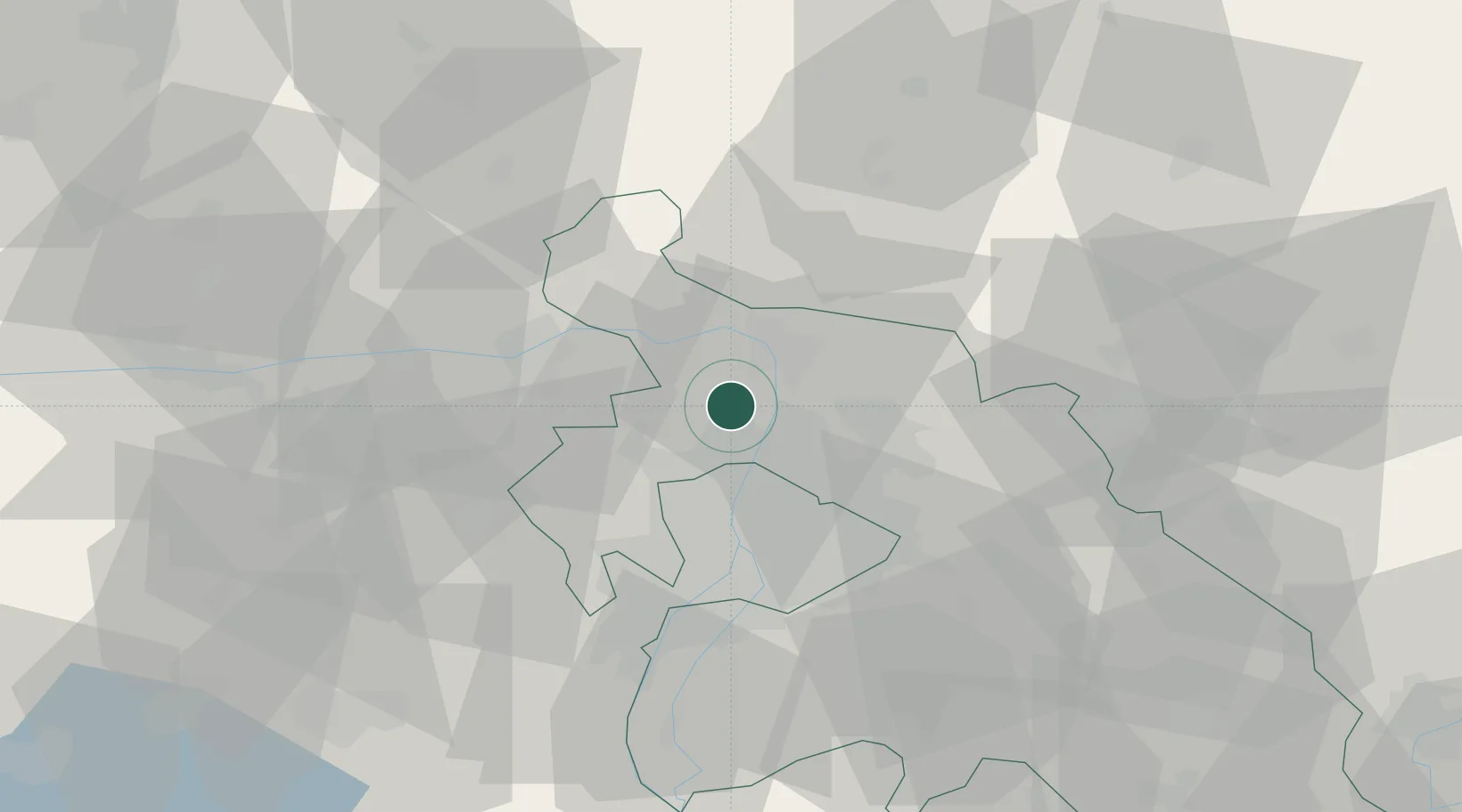
Hub Profile
Place type
Provincial seat
Region
Pest County
Population
23,606
Time zone
Europe/Budapest
Elevation
119 m
Location
Nearby Logistics Neighbours
Cities
- 1Pomáz6 km
- 2Göd6 km
- 3Tahitotfalu7 km
- 4Szodliget8 km
- 5Budakalász9 km
Ports
- 1Bakar437 km
- 2Senj439 km
- 3Rijeka Luka440 km
- 4Omisalj442 km
- 5Zaliv Rasa483 km
Airports
- 1Budapest Liszt Ferenc International Airport34 km
- 2Tököl Airport40 km
- 3Győr-Pér Airport94 km
- 4Kecskemét Air Base102 km
- 5Sliač Airport105 km
Trade Zones
- 1Göd Special Economic Zone9 km
- 2Subotica Free Zone186 km
- 3Veselí nad Moravou Industrial Zone186 km
- 4Holešov Industrial Zone212 km
- 5Apatin Free Zone225 km
DatabookThe Record of Consolidated Knowledge
Hungary beyond logistics?