Transport Functions
Rail
Road
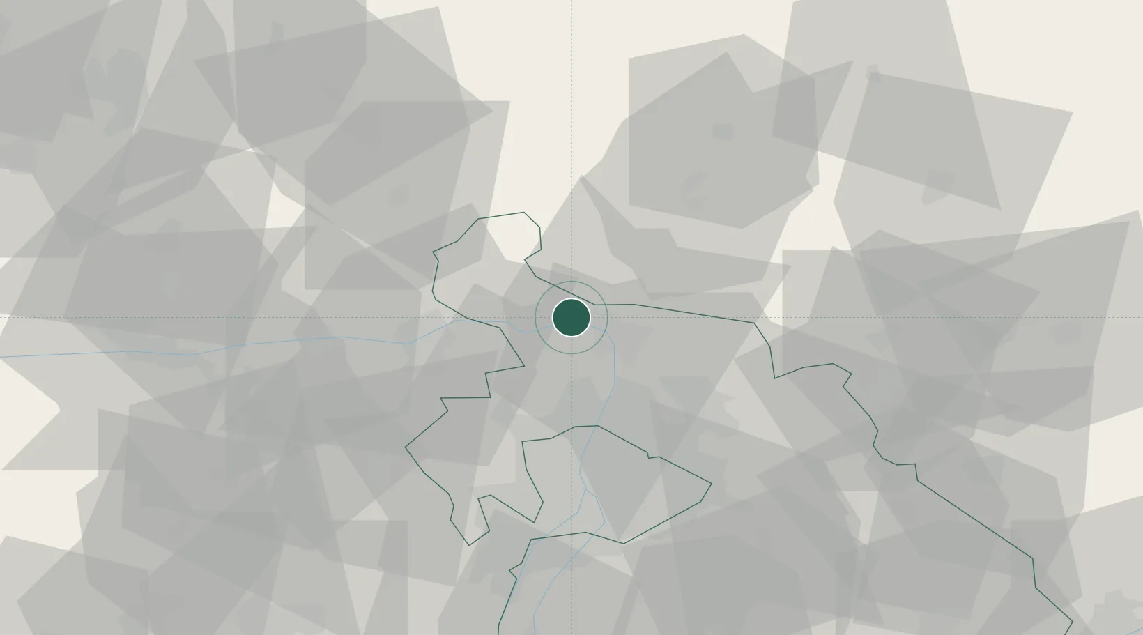
Hub Profile
Region
PE
Location
Nearby Logistics Neighbours
Cities
- 1Visegrád6 km
- 2Nagymaros8 km
- 3Vác8 km
- 4Tahitotfalu11 km
- 5Szodliget14 km
Ports
- 1Bakar445 km
- 2Rijeka Luka448 km
- 3Senj448 km
- 4Omisalj450 km
- 5Zaliv Rasa490 km
Airports
- 1Budapest Liszt Ferenc International Airport48 km
- 2Tököl Airport54 km
- 3Sliač Airport90 km
- 4Győr-Pér Airport95 km
- 5Kecskemét Air Base115 km
Trade Zones
- 1Göd Special Economic Zone20 km
- 2Veselí nad Moravou Industrial Zone175 km
- 3Holešov Industrial Zone199 km
- 4Subotica Free Zone201 km
- 5Mošnov Development Area217 km
DatabookThe Record of Consolidated Knowledge
Hungary beyond logistics?