Transport Functions
Rail
Road
Hub Profile
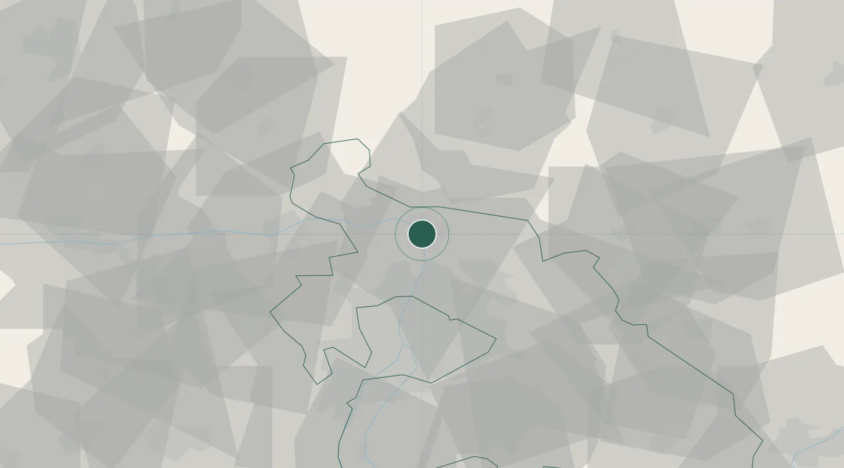
Place type
Populated place
Region
Pest County
Population
35,108
Time zone
Europe/Budapest
Elevation
113 m
Location
Nearby Logistics Neighbours
Cities
- 1Tahitotfalu4 km
- 2Szodliget6 km
- 3Verocemaros8 km
- 4Göd9 km
- 5Szentendre11 km
Ports
- 1Bakar446 km
- 2Senj449 km
- 3Rijeka Luka450 km
- 4Omisalj451 km
- 5Zaliv Rasa492 km
Airports
- 1Budapest Liszt Ferenc International Airport41 km
- 2Tököl Airport50 km
- 3Sliač Airport95 km
- 4Győr-Pér Airport100 km
- 5Kecskemét Air Base107 km
Trade Zones
- 1Göd Special Economic Zone12 km
- 2Veselí nad Moravou Industrial Zone183 km
- 3Subotica Free Zone194 km
- 4Holešov Industrial Zone207 km
- 5Mošnov Development Area224 km
DatabookThe Record of Consolidated Knowledge
Hungary beyond logistics?