Transport Functions
Rail
Road
Hub Profile
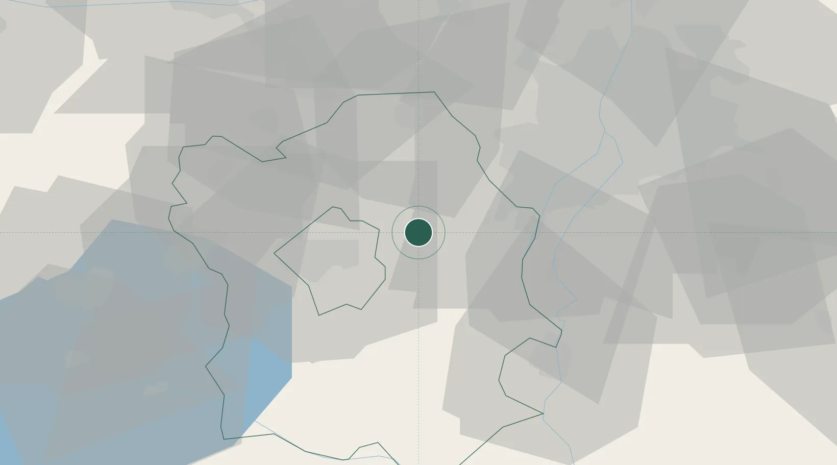
Place type
Populated place
Region
Fejér
Population
4,832
Time zone
Europe/Budapest
Elevation
110 m
Location
Nearby Logistics Neighbours
Cities
- 1Sukoró4 km
- 2Martonvásár12 km
- 3Pusztaszabolcs16 km
- 4Szabadegyháza19 km
- 5Adony22 km
Ports
- 1Senj383 km
- 2Bakar384 km
- 3Rijeka Luka388 km
- 4Omisalj388 km
- 5Zaliv Rasa429 km
Airports
- 1Tököl Airport27 km
- 2Budapest Liszt Ferenc International Airport50 km
- 3Győr-Pér Airport76 km
- 4Kalocsa-Foktő Airfield81 km
- 5Kecskemét Air Base91 km
Trade Zones
- 1Göd Special Economic Zone62 km
- 2Subotica Free Zone151 km
- 3Apatin Free Zone176 km
- 4Sjever Free Zone206 km
- 5Veselí nad Moravou Industrial Zone212 km
DatabookThe Record of Consolidated Knowledge
Hungary beyond logistics?