Transport Functions
Multimodal
Hub Profile
Place type
Populated place
Region
Fejér
Time zone
Europe/Budapest
Elevation
164 m
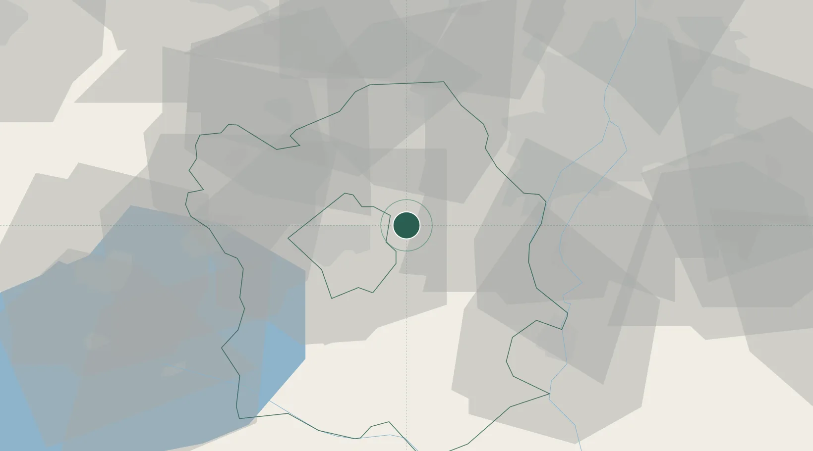
Location
Nearby Logistics Neighbours
Cities
- 1Velence4 km
- 2Martonvásár16 km
- 3Pusztaszabolcs17 km
- 4Szabadegyháza18 km
- 5Szabadbattyán21 km
Ports
- 1Bakar379 km
- 2Senj379 km
- 3Rijeka Luka384 km
- 4Omisalj384 km
- 5Zaliv Rasa425 km
Airports
- 1Tököl Airport31 km
- 2Budapest Liszt Ferenc International Airport55 km
- 3Győr-Pér Airport74 km
- 4Kalocsa-Foktő Airfield80 km
- 5Kecskemét Air Base94 km
Trade Zones
- 1Göd Special Economic Zone65 km
- 2Subotica Free Zone151 km
- 3Apatin Free Zone175 km
- 4Sjever Free Zone202 km
- 5Veselí nad Moravou Industrial Zone212 km
DatabookThe Record of Consolidated Knowledge
Hungary beyond logistics?