Transport Functions
Multimodal
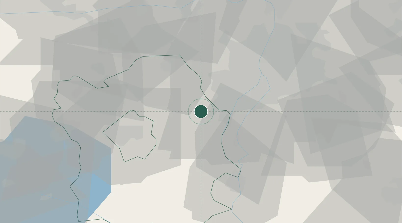
Hub Profile
Place type
Provincial seat
Region
Fejér
Population
5,166
Time zone
Europe/Budapest
Elevation
109 m
Location
Nearby Logistics Neighbours
Cities
- 1Velence12 km
- 2Százhalombatta12 km
- 3Erd14 km
- 4Szigetcsép16 km
- 5Sukoró16 km
Ports
- 1Senj395 km
- 2Bakar395 km
- 3Rijeka Luka399 km
- 4Omisalj399 km
- 5Zaliv Rasa441 km
Airports
- 1Tököl Airport16 km
- 2Budapest Liszt Ferenc International Airport39 km
- 3Győr-Pér Airport82 km
- 4Kalocsa-Foktő Airfield84 km
- 5Kecskemét Air Base85 km
Trade Zones
- 1Göd Special Economic Zone51 km
- 2Subotica Free Zone151 km
- 3Apatin Free Zone181 km
- 4Veselí nad Moravou Industrial Zone212 km
- 5Sjever Free Zone217 km
DatabookThe Record of Consolidated Knowledge
Hungary beyond logistics?