Transport Functions
Rail
Road
Multimodal
Hub Profile
Place type
Populated place
Region
Fejér
Population
2,824
Time zone
Europe/Budapest
Elevation
108 m
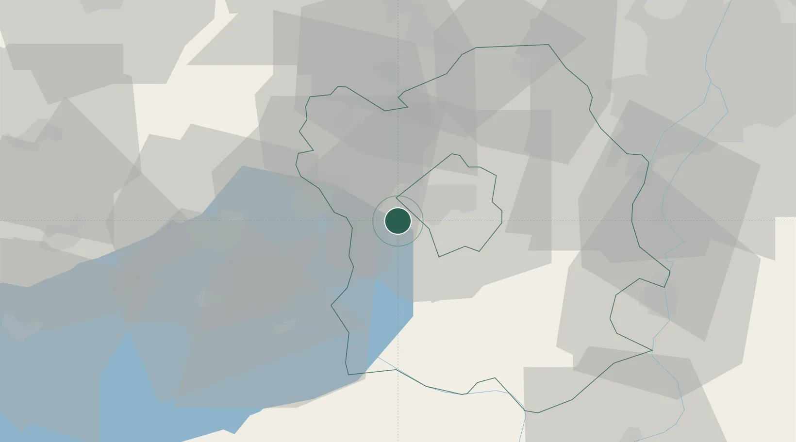
Location
Nearby Logistics Neighbours
Cities
- 1Szabadbattyán5 km
- 2Tác9 km
- 3Iszkaszentgyörgy10 km
- 4Várpalota16 km
- 5Sukoró22 km
Ports
- 1Bakar357 km
- 2Senj358 km
- 3Rijeka Luka362 km
- 4Omisalj362 km
- 5Zaliv Rasa403 km
Airports
- 1Tököl Airport54 km
- 2Győr-Pér Airport66 km
- 3Budapest Liszt Ferenc International Airport77 km
- 4Kalocsa-Foktő Airfield81 km
- 5Taszár Air Base90 km
Trade Zones
- 1Göd Special Economic Zone86 km
- 2Subotica Free Zone155 km
- 3Apatin Free Zone171 km
- 4Sjever Free Zone180 km
- 5Osijek Free Zone203 km
DatabookThe Record of Consolidated Knowledge
Hungary beyond logistics?