Transport Functions
Multimodal
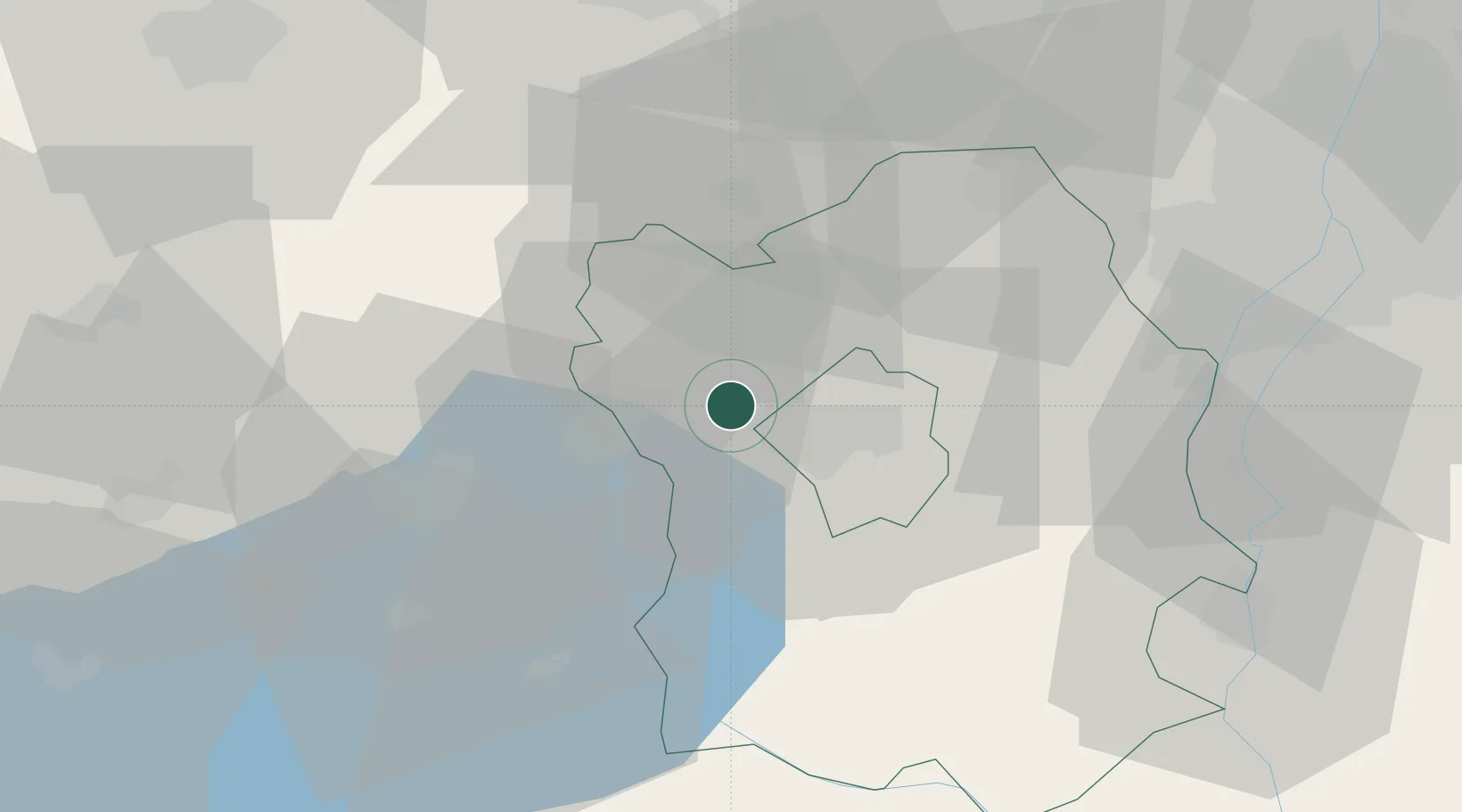
Hub Profile
Place type
Populated place
Region
Fejér
Time zone
Europe/Budapest
Elevation
129 m
Location
Nearby Logistics Neighbours
Cities
- 1Sárszentmihály10 km
- 2Várpalota13 km
- 3Szabadbattyán14 km
- 4Tác18 km
- 5Sukoró23 km
Ports
- 1Bakar361 km
- 2Senj362 km
- 3Rijeka Luka365 km
- 4Omisalj365 km
- 5Zaliv Rasa407 km
Airports
- 1Tököl Airport53 km
- 2Győr-Pér Airport58 km
- 3Budapest Liszt Ferenc International Airport76 km
- 4Kalocsa-Foktő Airfield90 km
- 5Taszár Air Base98 km
Trade Zones
- 1Göd Special Economic Zone82 km
- 2Subotica Free Zone164 km
- 3Apatin Free Zone180 km
- 4Sjever Free Zone182 km
- 5Veselí nad Moravou Industrial Zone203 km
DatabookThe Record of Consolidated Knowledge
Hungary beyond logistics?