Transport Functions
Port
Road
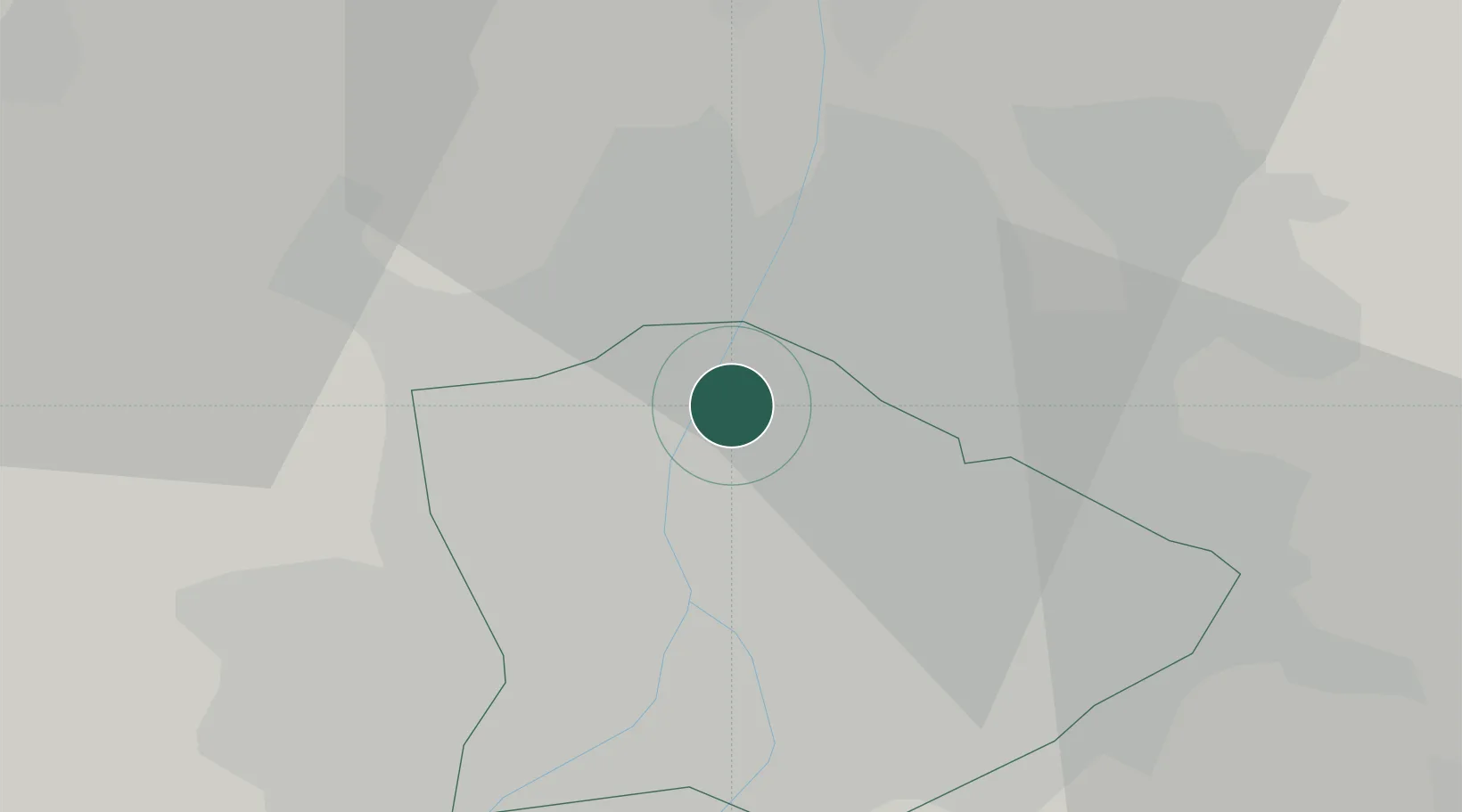
Hub Profile
Place type
Urban district
Region
Budapest
Population
100,694
Time zone
Europe/Budapest
Elevation
108 m
Location
Nearby Logistics Neighbours
Cities
- 1Budakalász6 km
- 2Fót10 km
- 3Pomáz11 km
- 4Ferencvaros11 km
- 5Lágymányos11 km
Ports
- 1Bakar430 km
- 2Senj431 km
- 3Rijeka Luka434 km
- 4Omisalj435 km
- 5Zaliv Rasa476 km
Airports
- 1Budapest Liszt Ferenc International Airport20 km
- 2Tököl Airport26 km
- 3Kecskemét Air Base88 km
- 4Győr-Pér Airport96 km
- 5Szolnok Air Base100 km
Trade Zones
- 1Göd Special Economic Zone14 km
- 2Subotica Free Zone171 km
- 3Veselí nad Moravou Industrial Zone199 km
- 4Apatin Free Zone210 km
- 5Free Zone Curtici Arad215 km
DatabookThe Record of Consolidated Knowledge
Hungary beyond logistics?