Transport Functions
Multimodal
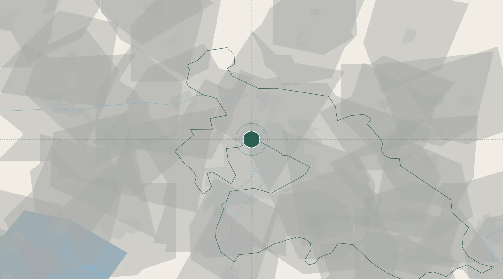
Hub Profile
Place type
Populated place
Region
Pest County
Population
1,003
Time zone
Europe/Budapest
Elevation
124 m
Location
Nearby Logistics Neighbours
Cities
- 1Pomáz5 km
- 2Újpest6 km
- 3Szentendre9 km
- 4Solymar11 km
- 5Göd11 km
Ports
- 1Bakar431 km
- 2Senj433 km
- 3Rijeka Luka435 km
- 4Omisalj436 km
- 5Zaliv Rasa477 km
Airports
- 1Budapest Liszt Ferenc International Airport26 km
- 2Tököl Airport31 km
- 3Győr-Pér Airport93 km
- 4Kecskemét Air Base94 km
- 5Szolnok Air Base105 km
Trade Zones
- 1Göd Special Economic Zone11 km
- 2Subotica Free Zone177 km
- 3Veselí nad Moravou Industrial Zone194 km
- 4Apatin Free Zone216 km
- 5Free Zone Curtici Arad220 km
DatabookThe Record of Consolidated Knowledge
Hungary beyond logistics?