Transport Functions
Rail
Road
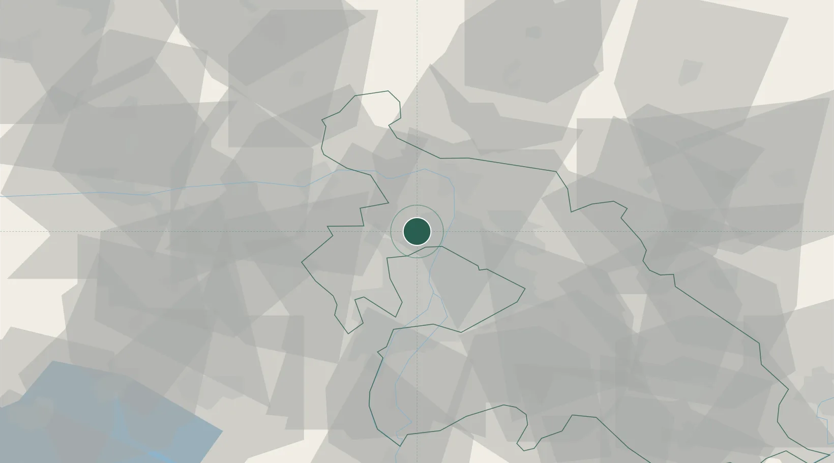
Hub Profile
Place type
Populated place
Region
Pest County
Population
14,917
Time zone
Europe/Budapest
Elevation
125 m
Location
Nearby Logistics Neighbours
Cities
- 1Budakalász5 km
- 2Szentendre6 km
- 3Göd10 km
- 4Újpest11 km
- 5Solymar11 km
Ports
- 1Bakar431 km
- 2Senj433 km
- 3Rijeka Luka435 km
- 4Omisalj436 km
- 5Zaliv Rasa477 km
Airports
- 1Budapest Liszt Ferenc International Airport31 km
- 2Tököl Airport34 km
- 3Győr-Pér Airport91 km
- 4Kecskemét Air Base98 km
- 5Szolnok Air Base109 km
Trade Zones
- 1Göd Special Economic Zone12 km
- 2Subotica Free Zone181 km
- 3Veselí nad Moravou Industrial Zone189 km
- 4Holešov Industrial Zone216 km
- 5Apatin Free Zone219 km
DatabookThe Record of Consolidated Knowledge
Hungary beyond logistics?