Transport Functions
Rail
Road
Hub Profile
Place type
Provincial seat
Region
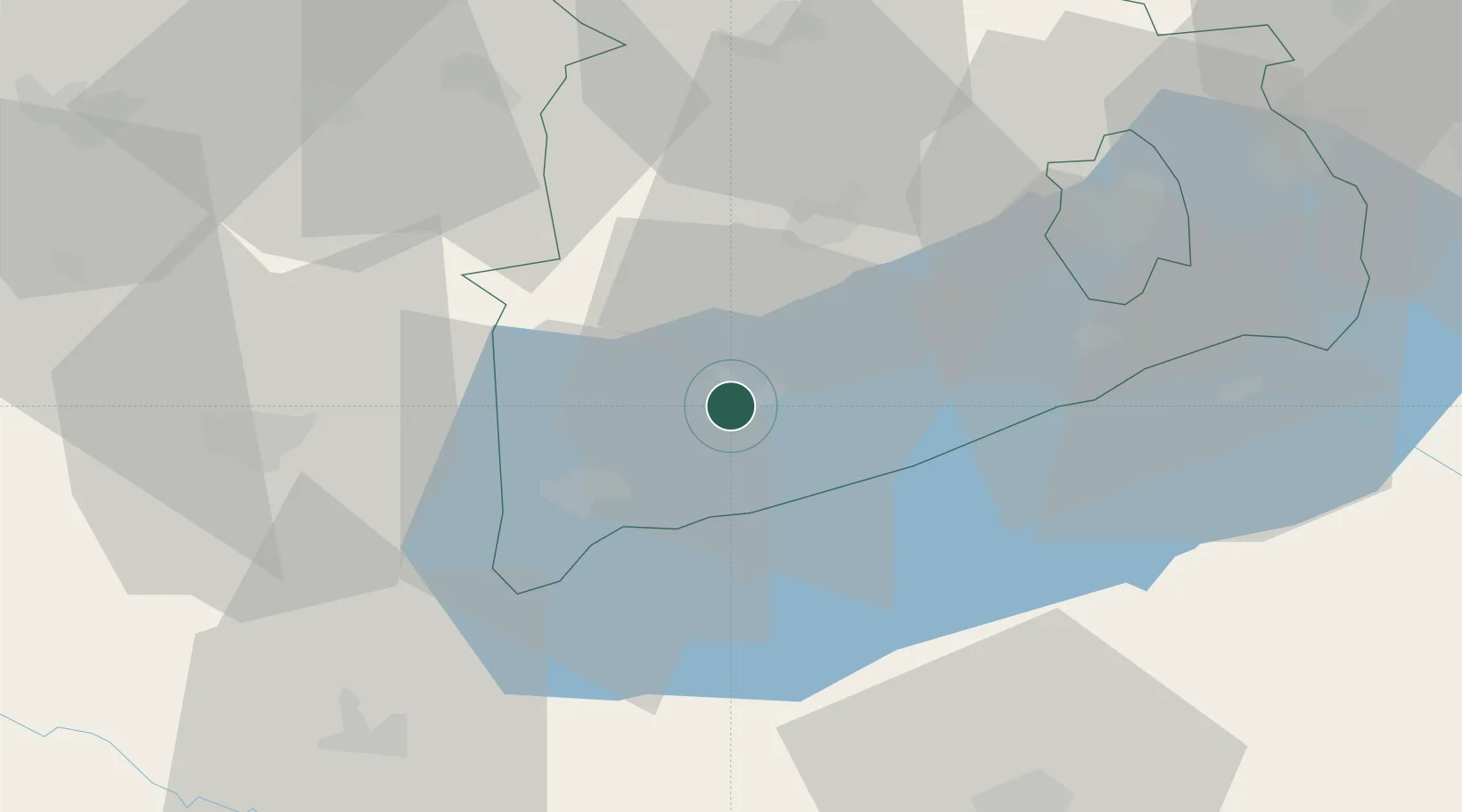
Veszprém
Population
17,598
Time zone
Europe/Budapest
Elevation
124 m
Location
Nearby Logistics Neighbours
Cities
- 1Kekkut11 km
- 2Badacsonyörs12 km
- 3Keszthely19 km
- 4Gógánfa24 km
- 5Ajka26 km
Ports
- 1Bakar285 km
- 2Senj288 km
- 3Rijeka Luka288 km
- 4Omisalj290 km
- 5Trieste315 km
Airports
- 1Hévíz–Balaton Airport30 km
- 2Taszár Air Base66 km
- 3Győr-Pér Airport88 km
- 4Pécs-Pogány International Airport117 km
- 5Kalocsa-Foktő Airfield121 km
Trade Zones
- 1Sjever Free Zone106 km
- 2Krapina-Zagorje Free Zone144 km
- 3Göd Special Economic Zone158 km
- 4PJ Free Zone Zagreb170 km
- 5Apatin Free Zone178 km
DatabookThe Record of Consolidated Knowledge
Hungary beyond logistics?