Transport Functions
Rail
Road
Hub Profile
Place type
Provincial seat
Region
Zala County
Population
19,652
Time zone
Europe/Budapest
Elevation
128 m
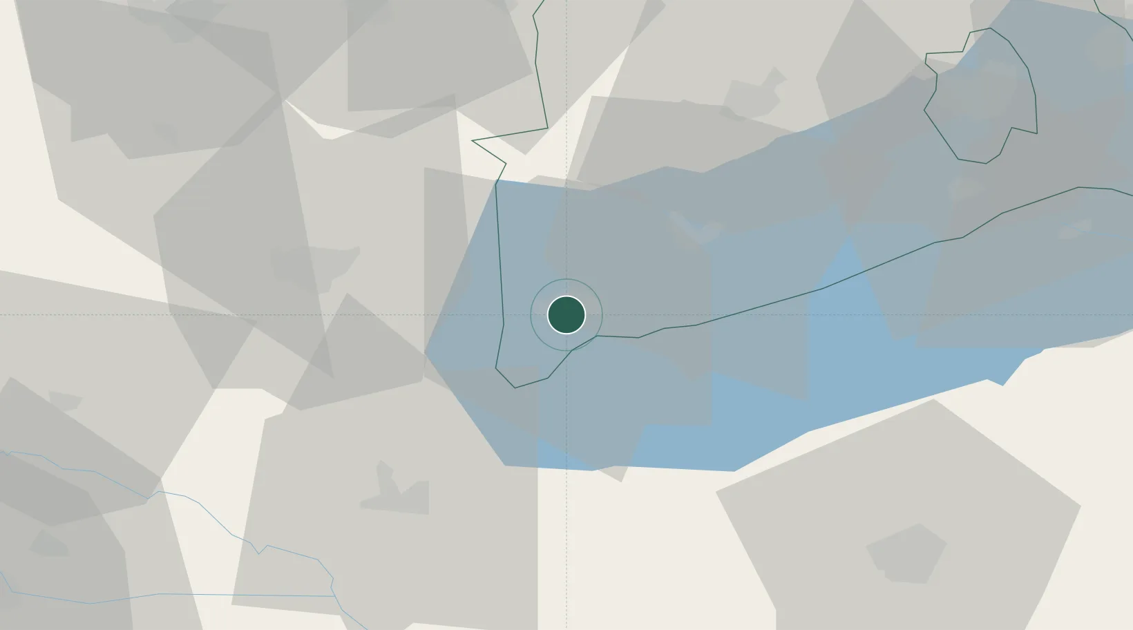
Location
Nearby Logistics Neighbours
Cities
- 1Tapolca19 km
- 2Nagyrada20 km
- 3Savoly20 km
- 4Badacsonyörs22 km
- 5Nemessándorháza23 km
Ports
- 1Bakar266 km
- 2Senj269 km
- 3Rijeka Luka270 km
- 4Omisalj271 km
- 5Trieste297 km
Airports
- 1Hévíz–Balaton Airport11 km
- 2Taszár Air Base66 km
- 3Győr-Pér Airport105 km
- 4Pécs-Pogány International Airport115 km
- 5Maribor Edvard Rusjan Airport124 km
Trade Zones
- 1Sjever Free Zone88 km
- 2Krapina-Zagorje Free Zone126 km
- 3PJ Free Zone Zagreb151 km
- 4Göd Special Economic Zone177 km
- 5Apatin Free Zone179 km
DatabookThe Record of Consolidated Knowledge
Hungary beyond logistics?