Transport Functions
Rail
Road
Hub Profile
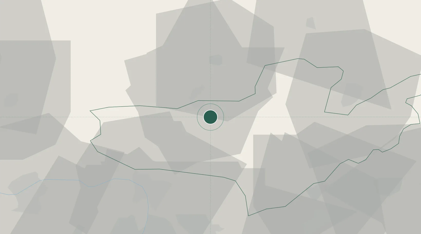
Place type
Populated place
Region
Nógrád
Time zone
Europe/Budapest
Elevation
166 m
Location
Nearby Logistics Neighbours
Cities
- 1Leanyvar12 km
- 2Szécsény16 km
- 3Vel'ké Zlievce21 km
- 4Drégelypalánk21 km
- 5Endrefalva22 km
Ports
- 1Bakar476 km
- 2Rijeka Luka479 km
- 3Senj480 km
- 4Omisalj481 km
- 5Trieste501 km
Airports
- 1Budapest Liszt Ferenc International Airport67 km
- 2Sliač Airport69 km
- 3Tököl Airport81 km
- 4Szolnok Air Base122 km
- 5Győr-Pér Airport123 km
Trade Zones
DatabookThe Record of Consolidated Knowledge
Hungary beyond logistics?