Transport Functions
Port
Multimodal
Hub Profile
Place type
Populated place
Region
Banská Bystrica Region
Time zone
Europe/Bratislava
Elevation
186 m
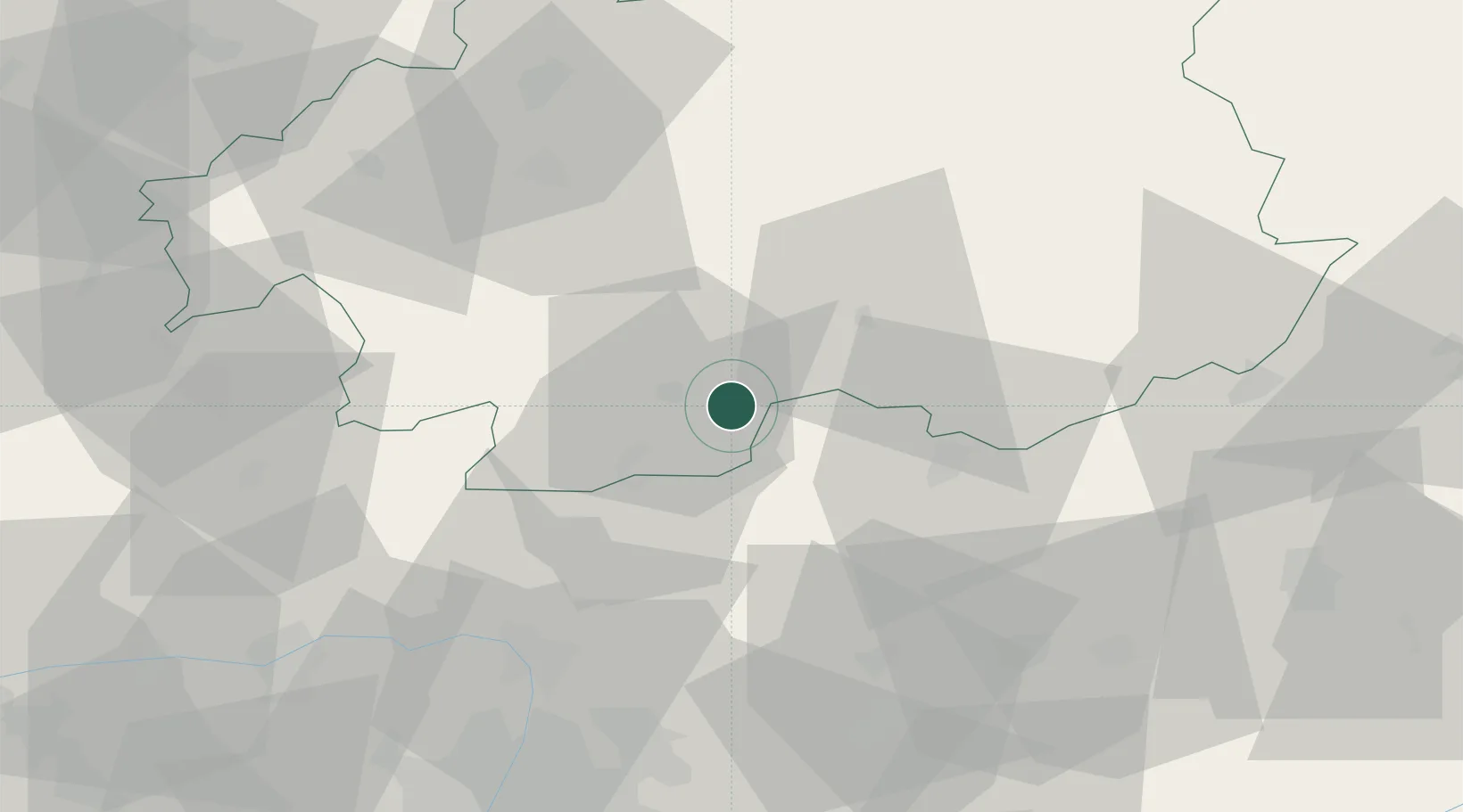
Location
Nearby Logistics Neighbours
Cities
- 1Endrefalva12 km
- 2Ipolytarnóc14 km
- 3Szécsény14 km
- 4Leanyvar14 km
- 5Praha19 km
Ports
- 1Bakar494 km
- 2Rijeka Luka497 km
- 3Senj499 km
- 4Omisalj499 km
- 5Trieste517 km
Airports
- 1Sliač Airport54 km
- 2Budapest Liszt Ferenc International Airport87 km
- 3Tököl Airport101 km
- 4Poprad-Tatry Airport113 km
- 5Piešťany Airport129 km
Trade Zones
DatabookThe Record of Consolidated Knowledge
Slovakia beyond logistics?