Transport Functions
Rail
Road
Hub Profile
Place type
Populated place
Region
Nógrád
Time zone
Europe/Budapest
Elevation
169 m
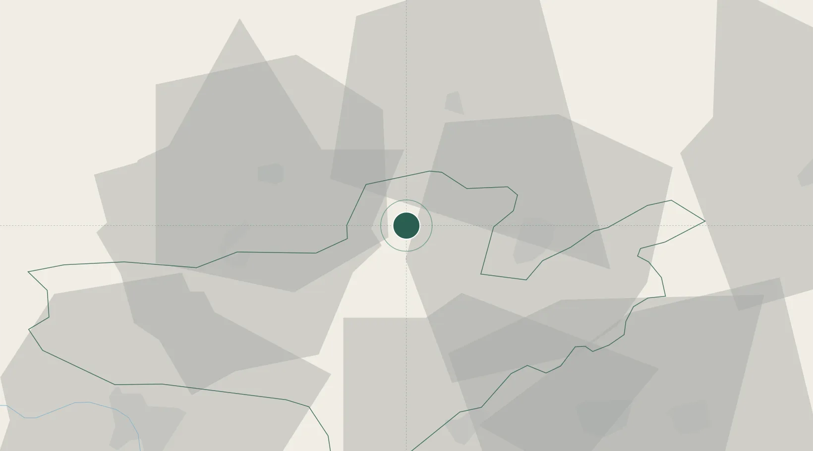
Location
Nearby Logistics Neighbours
Cities
- 1Szécsény7 km
- 2Ipolytarnóc12 km
- 3Vel'ké Zlievce12 km
- 4Somoskoújfalu17 km
- 5Radzovce21 km
Ports
- 1Bakar497 km
- 2Senj501 km
- 3Rijeka Luka501 km
- 4Omisalj503 km
- 5Trieste522 km
Airports
- 1Sliač Airport65 km
- 2Budapest Liszt Ferenc International Airport82 km
- 3Tököl Airport99 km
- 4Poprad-Tatry Airport115 km
- 5Szolnok Air Base123 km
Trade Zones
DatabookThe Record of Consolidated Knowledge
Hungary beyond logistics?