Transport Functions
Rail
Road
Hub Profile
Place type
Provincial seat
Region
Nógrád
Population
6,446
Time zone
Europe/Budapest
Elevation
172 m
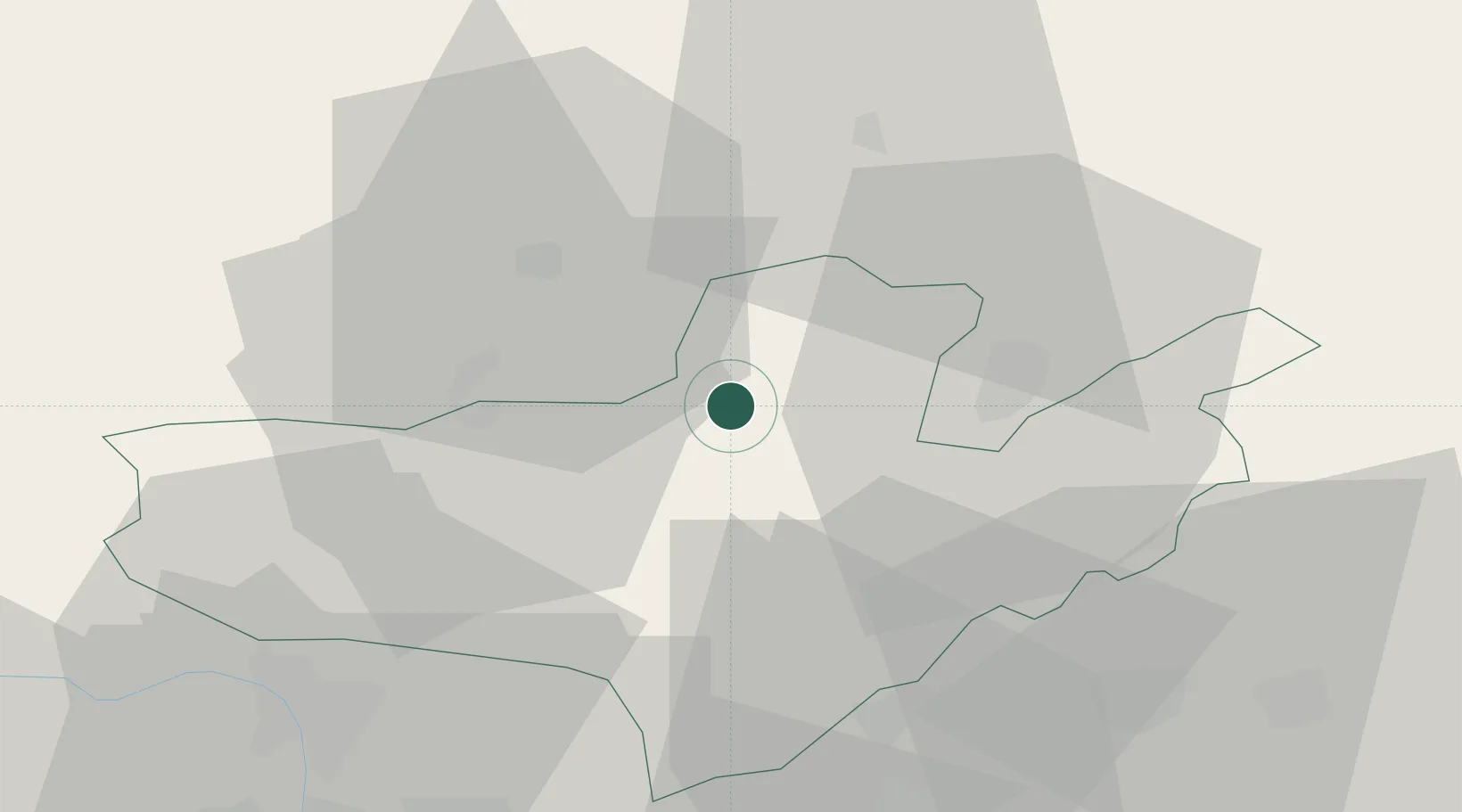
Location
Nearby Logistics Neighbours
Cities
- 1Endrefalva7 km
- 2Vel'ké Zlievce14 km
- 3Szügy16 km
- 4Ipolytarnóc18 km
- 5Leanyvar19 km
Ports
- 1Bakar491 km
- 2Senj494 km
- 3Rijeka Luka495 km
- 4Omisalj496 km
- 5Trieste516 km
Airports
- 1Sliač Airport68 km
- 2Budapest Liszt Ferenc International Airport75 km
- 3Tököl Airport92 km
- 4Szolnok Air Base119 km
- 5Poprad-Tatry Airport122 km
Trade Zones
DatabookThe Record of Consolidated Knowledge
Hungary beyond logistics?