Transport Functions
Multimodal
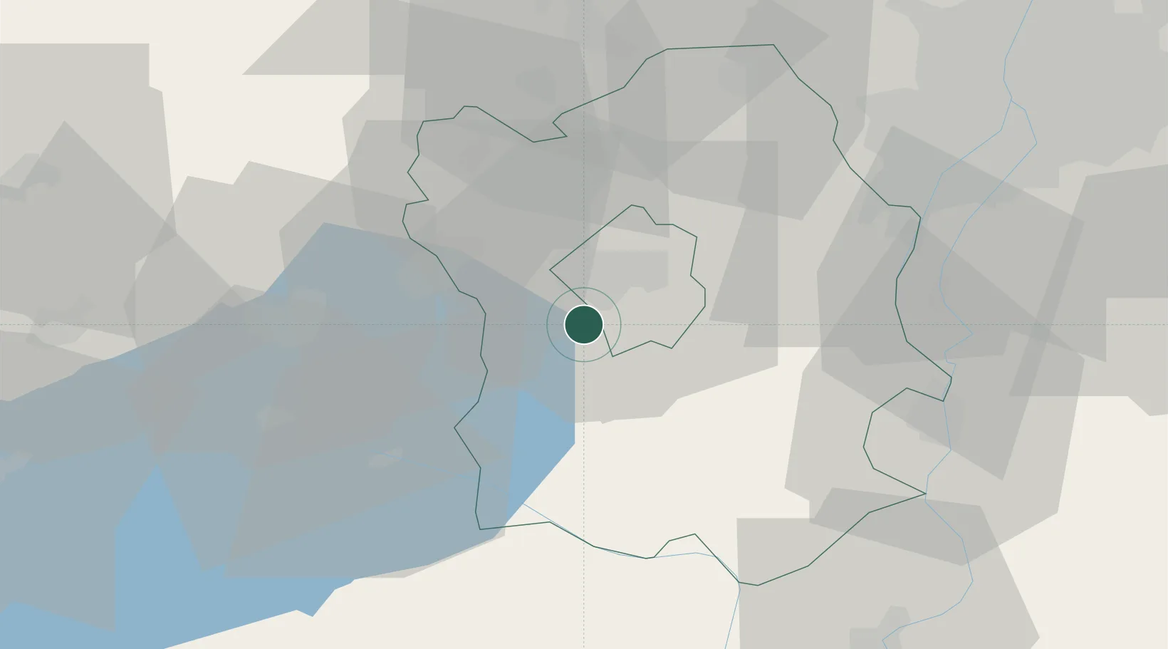
Hub Profile
Place type
Populated place
Region
Fejér
Population
4,492
Time zone
Europe/Budapest
Elevation
110 m
Location
Nearby Logistics Neighbours
Cities
- 1Tác4 km
- 2Sárszentmihály5 km
- 3Iszkaszentgyörgy14 km
- 4Sukoró21 km
- 5Várpalota21 km
Ports
- 1Senj359 km
- 2Bakar359 km
- 3Rijeka Luka363 km
- 4Omisalj363 km
- 5Zaliv Rasa404 km
Airports
- 1Tököl Airport52 km
- 2Győr-Pér Airport72 km
- 3Budapest Liszt Ferenc International Airport75 km
- 4Kalocsa-Foktő Airfield76 km
- 5Taszár Air Base88 km
Trade Zones
- 1Göd Special Economic Zone86 km
- 2Subotica Free Zone150 km
- 3Apatin Free Zone166 km
- 4Sjever Free Zone181 km
- 5Osijek Free Zone200 km
DatabookThe Record of Consolidated Knowledge
Hungary beyond logistics?