Transport Functions
Rail
Road
Hub Profile
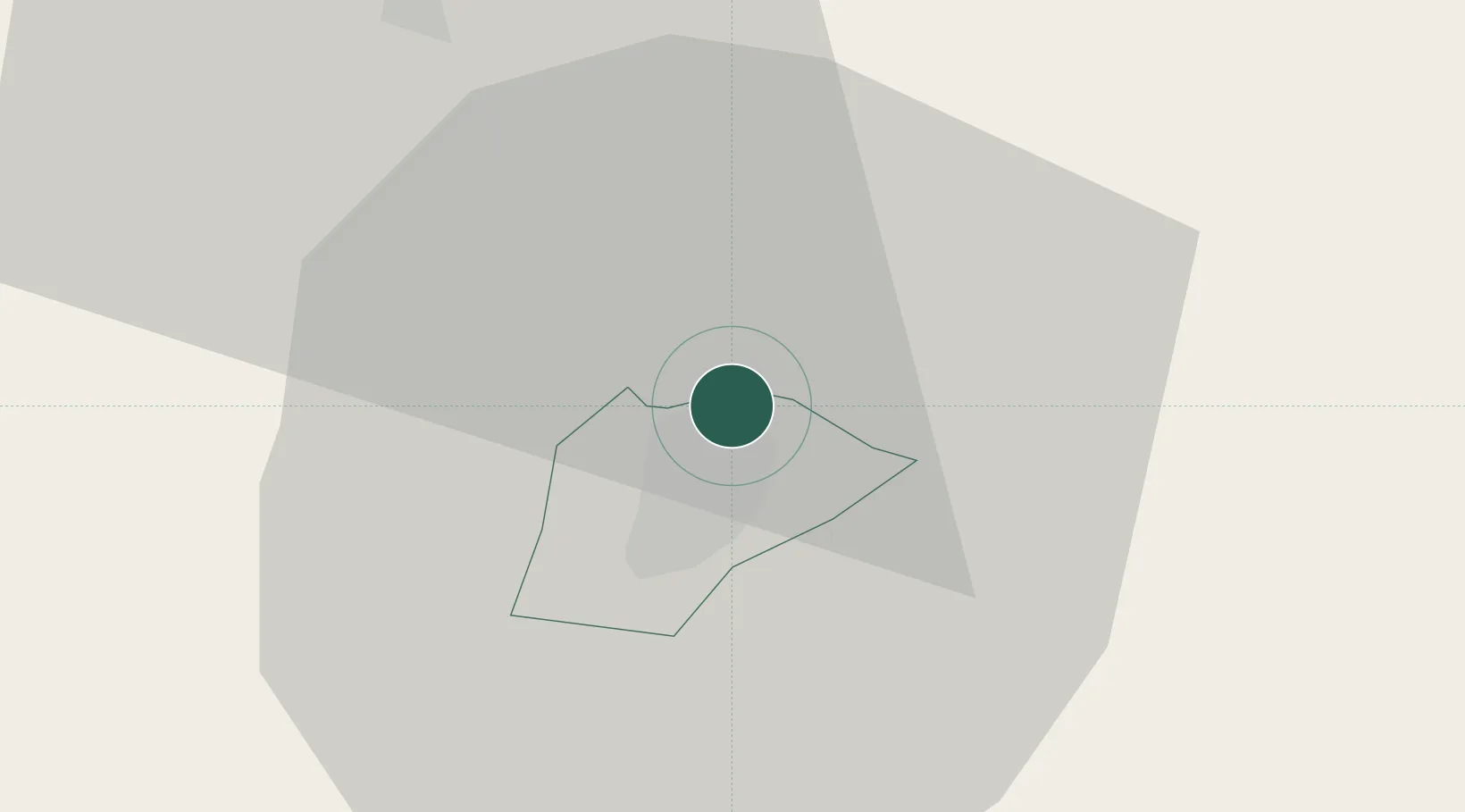
Place type
Populated place
Region
Nógrád
Population
2,296
Time zone
Europe/Budapest
Elevation
310 m
Location
Nearby Logistics Neighbours
Cities
- 1Radzovce8 km
- 2Ipolytarnóc16 km
- 3Endrefalva17 km
- 4Szécsény22 km
- 5Vel'ké Zlievce28 km
Ports
- 1Bakar512 km
- 2Senj515 km
- 3Rijeka Luka516 km
- 4Omisalj517 km
- 5Trieste538 km
Airports
- 1Sliač Airport74 km
- 2Budapest Liszt Ferenc International Airport90 km
- 3Poprad-Tatry Airport107 km
- 4Tököl Airport109 km
- 5Szolnok Air Base118 km
Trade Zones
- 1Göd Special Economic Zone71 km
- 2Veselí nad Moravou Industrial Zone201 km
- 3Kraków Technology Park208 km
- 4Mošnov Development Area212 km
- 5Holešov Industrial Zone212 km
DatabookThe Record of Consolidated Knowledge
Hungary beyond logistics?