Transport Functions
Rail
Road
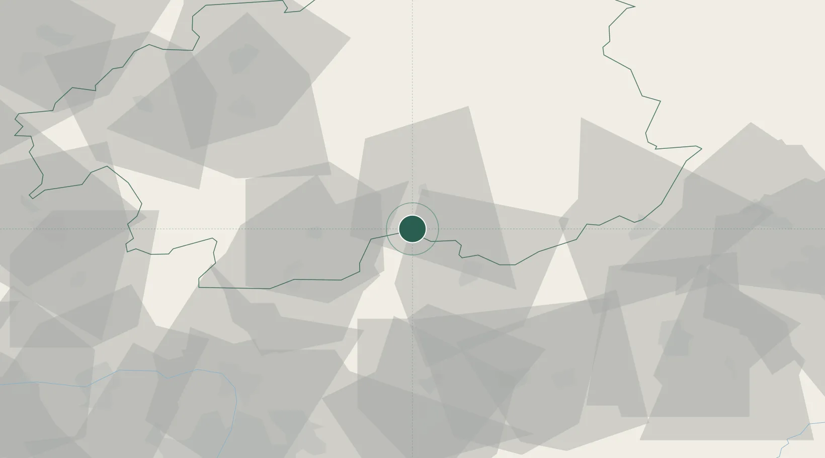
Hub Profile
Place type
Populated place
Region
Nógrád
Time zone
Europe/Budapest
Elevation
169 m
Location
Nearby Logistics Neighbours
Cities
- 1Endrefalva12 km
- 2Vel'ké Zlievce14 km
- 3Radzovce15 km
- 4Somoskoújfalu16 km
- 5Praha17 km
Ports
- 1Bakar507 km
- 2Rijeka Luka510 km
- 3Senj511 km
- 4Omisalj512 km
- 5Trieste531 km
Airports
- 1Sliač Airport58 km
- 2Budapest Liszt Ferenc International Airport94 km
- 3Poprad-Tatry Airport103 km
- 4Tököl Airport110 km
- 5Košice International Airport128 km
Trade Zones
DatabookThe Record of Consolidated Knowledge
Hungary beyond logistics?