Transport Functions
Rail
Road
Hub Profile
Place type
Populated place
Region
Banská Bystrica Region
Time zone
Europe/Bratislava
Elevation
218 m
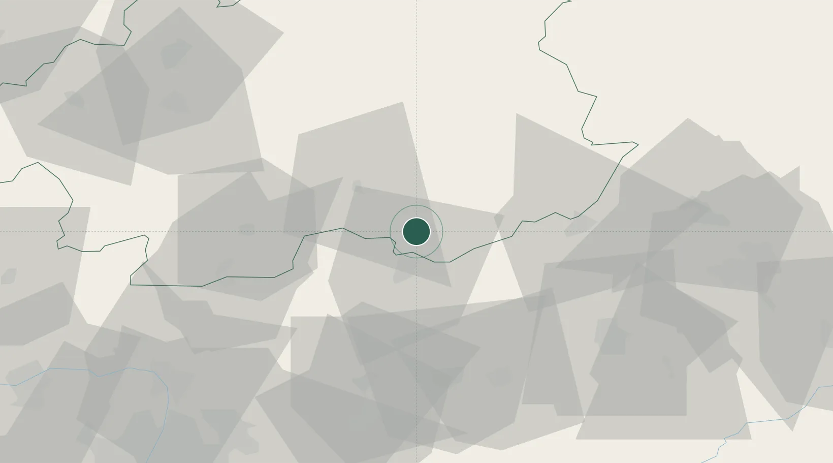
Location
Nearby Logistics Neighbours
Cities
- 1Somoskoújfalu8 km
- 2Ipolytarnóc15 km
- 3Endrefalva21 km
- 4Poltár24 km
- 5Szécsény27 km
Ports
- 1Bakar518 km
- 2Senj521 km
- 3Rijeka Luka521 km
- 4Omisalj523 km
- 5Trieste543 km
Airports
- 1Sliač Airport70 km
- 2Budapest Liszt Ferenc International Airport97 km
- 3Poprad-Tatry Airport100 km
- 4Košice International Airport115 km
- 5Tököl Airport116 km
Trade Zones
DatabookThe Record of Consolidated Knowledge
Slovakia beyond logistics?