Transport Functions
Multimodal
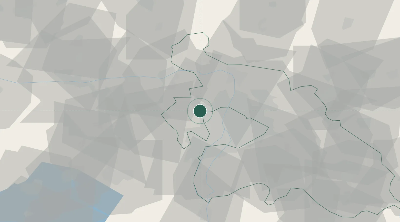
Hub Profile
Place type
Populated place
Region
Pest County
Population
9,242
Time zone
Europe/Budapest
Elevation
193 m
Location
Nearby Logistics Neighbours
Cities
- 1Budakeszi8 km
- 2Pomáz11 km
- 3Budakalász11 km
- 4Újpest13 km
- 5Tok14 km
Ports
- 1Bakar421 km
- 2Senj423 km
- 3Rijeka Luka425 km
- 4Omisalj426 km
- 5Zaliv Rasa467 km
Airports
- 1Tököl Airport27 km
- 2Budapest Liszt Ferenc International Airport31 km
- 3Győr-Pér Airport84 km
- 4Kecskemét Air Base97 km
- 5Szolnok Air Base112 km
Trade Zones
- 1Göd Special Economic Zone22 km
- 2Subotica Free Zone176 km
- 3Veselí nad Moravou Industrial Zone190 km
- 4Apatin Free Zone212 km
- 5Holešov Industrial Zone219 km
DatabookThe Record of Consolidated Knowledge
Hungary beyond logistics?