Transport Functions
Rail
Road
Hub Profile
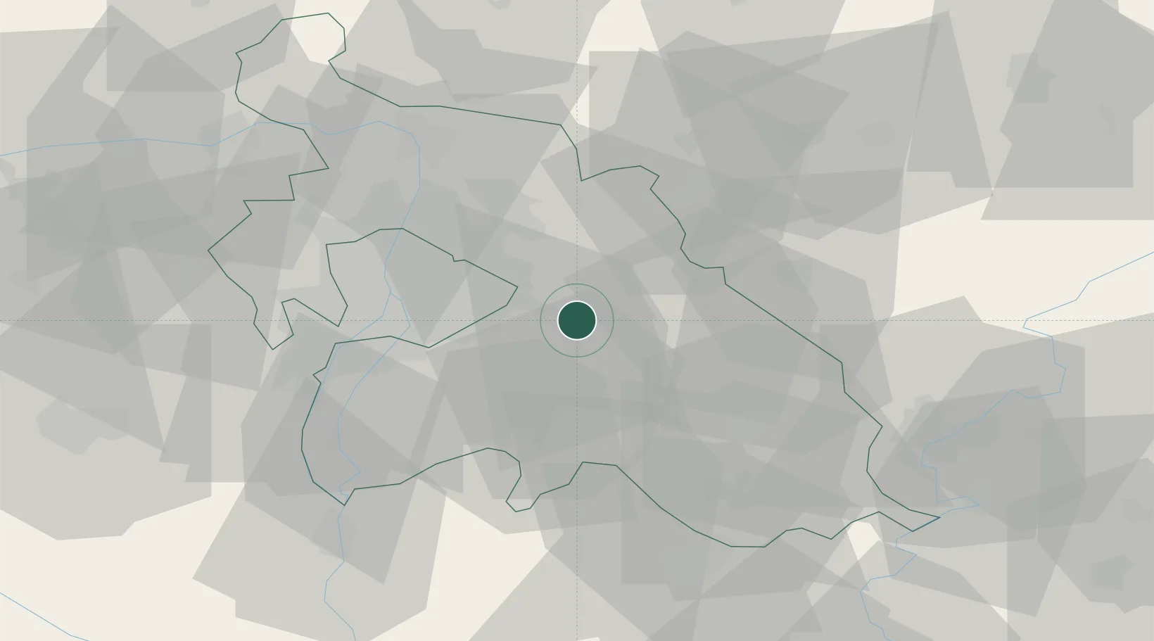
Place type
Populated place
Region
Pest County
Population
4,250
Time zone
Europe/Budapest
Elevation
159 m
Location
Nearby Logistics Neighbours
Ports
- 1Senj442 km
- 2Bakar445 km
- 3Omisalj449 km
- 4Rijeka Luka449 km
- 5Zaliv Rasa490 km
Airports
- 1Budapest Liszt Ferenc International Airport14 km
- 2Tököl Airport36 km
- 3Kecskemét Air Base60 km
- 4Szolnok Air Base68 km
- 5Kalocsa-Foktő Airfield104 km
Trade Zones
- 1Göd Special Economic Zone36 km
- 2Subotica Free Zone150 km
- 3Free Zone Curtici Arad183 km
- 4VGP Park Arad194 km
- 5Apatin Free Zone197 km
DatabookThe Record of Consolidated Knowledge
Hungary beyond logistics?