Transport Functions
Rail
Road
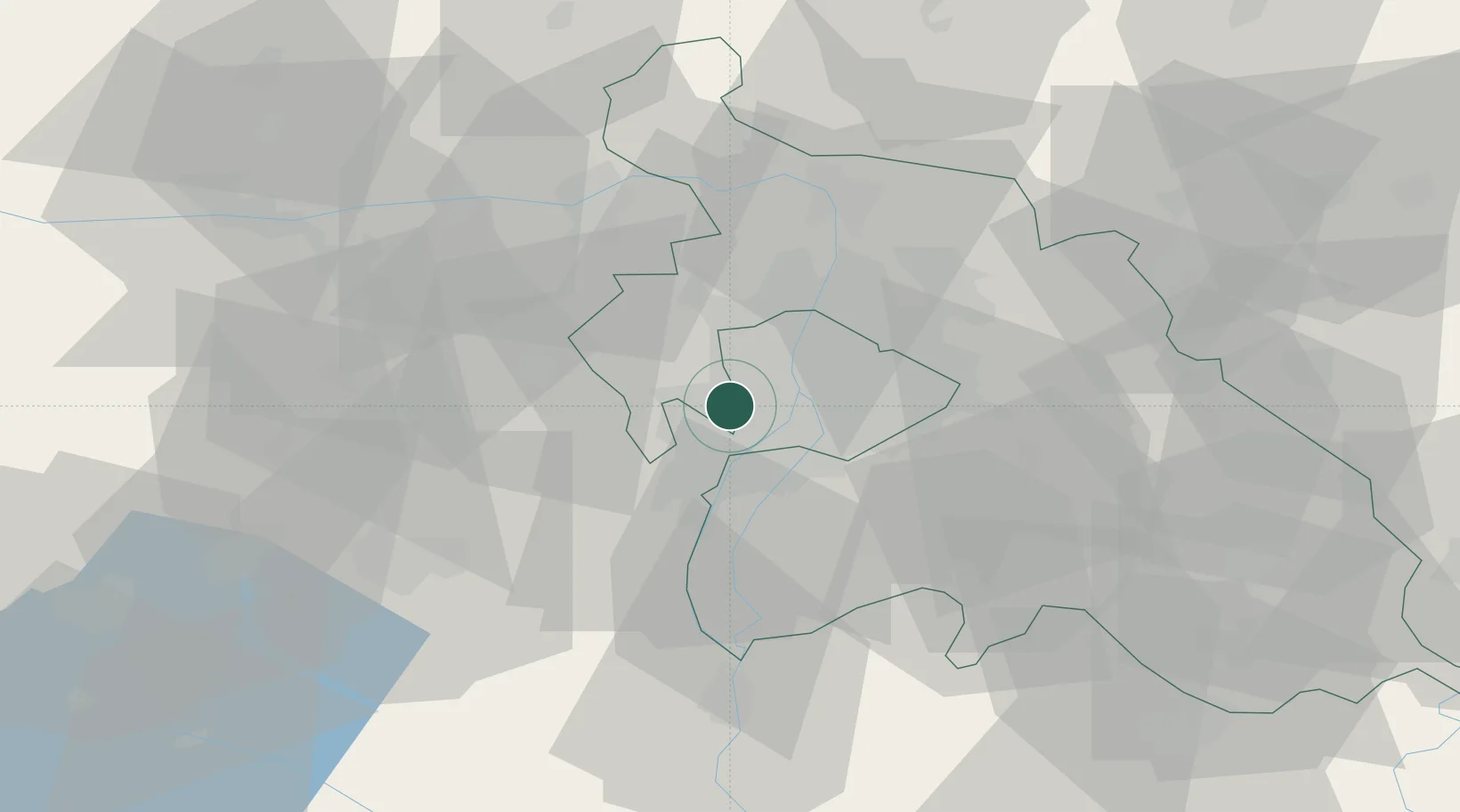
Hub Profile
Place type
Populated place
Region
Pest County
Population
25,089
Time zone
Europe/Budapest
Elevation
139 m
Location
Nearby Logistics Neighbours
Cities
- 1Budakeszi8 km
- 2Lágymányos8 km
- 3Erd9 km
- 4Csepel10 km
- 5Halásztelek10 km
Ports
- 1Bakar415 km
- 2Senj415 km
- 3Rijeka Luka419 km
- 4Omisalj419 km
- 5Zaliv Rasa461 km
Airports
- 1Tököl Airport12 km
- 2Budapest Liszt Ferenc International Airport24 km
- 3Kecskemét Air Base85 km
- 4Győr-Pér Airport88 km
- 5Kalocsa-Foktő Airfield100 km
Trade Zones
- 1Göd Special Economic Zone30 km
- 2Subotica Free Zone161 km
- 3Apatin Free Zone197 km
- 4Veselí nad Moravou Industrial Zone204 km
- 5Free Zone Curtici Arad215 km
DatabookThe Record of Consolidated Knowledge
Hungary beyond logistics?