Transport Functions
Rail
Road
Hub Profile
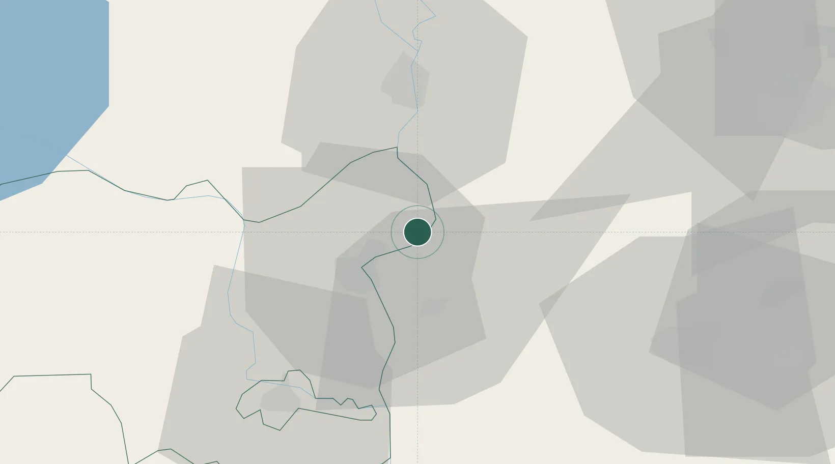
Place type
Populated place
Region
Tolna County
Population
1,935
Time zone
Europe/Budapest
Elevation
95 m
Location
Nearby Logistics Neighbours
Ports
- 1Senj367 km
- 2Bakar375 km
- 3Omisalj378 km
- 4Rijeka Luka381 km
- 5Dugi Rat403 km
Airports
- 1Kalocsa-Foktő Airfield15 km
- 2Kecskemét Air Base65 km
- 3Tököl Airport74 km
- 4Budapest Liszt Ferenc International Airport86 km
- 5Taszár Air Base87 km
Trade Zones
- 1Subotica Free Zone85 km
- 2Apatin Free Zone112 km
- 3Göd Special Economic Zone112 km
- 4Podunavska Gospodarska Zona Vukovar149 km
- 5Osijek Free Zone156 km
DatabookThe Record of Consolidated Knowledge
Hungary beyond logistics?