Transport Functions
Rail
Road
Hub Profile
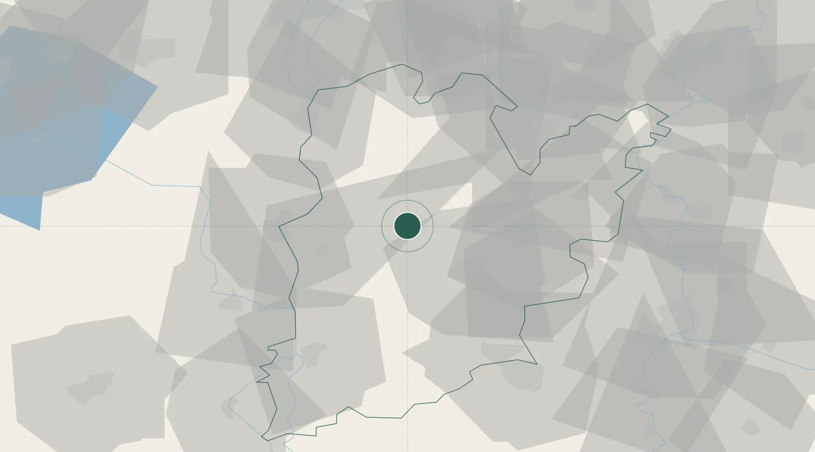
Place type
Provincial seat
Region
Bács-Kiskun
Population
15,091
Time zone
Europe/Budapest
Elevation
100 m
Location
Nearby Logistics Neighbours
Ports
- 1Senj385 km
- 2Bakar395 km
- 3Omisalj398 km
- 4Rijeka Luka401 km
- 5Dugi Rat408 km
Airports
- 1Kalocsa-Foktő Airfield27 km
- 2Kecskemét Air Base49 km
- 3Tököl Airport84 km
- 4Budapest Liszt Ferenc International Airport91 km
- 5Szolnok Air Base92 km
Trade Zones
- 1Subotica Free Zone66 km
- 2Apatin Free Zone107 km
- 3Göd Special Economic Zone119 km
- 4Podunavska Gospodarska Zona Vukovar143 km
- 5Novi Sad Free Zone156 km
DatabookThe Record of Consolidated Knowledge
Hungary beyond logistics?