Transport Functions
Port
Rail
Road
Hub Profile
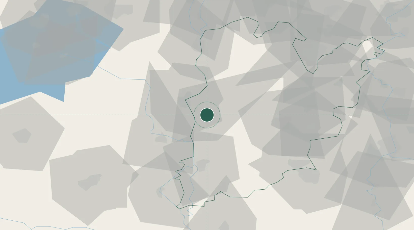
Place type
Provincial seat
Region
Bács-Kiskun
Population
18,242
Time zone
Europe/Budapest
Elevation
95 m
Location
Nearby Logistics Neighbours
Ports
- 1Senj361 km
- 2Bakar371 km
- 3Omisalj374 km
- 4Rijeka Luka377 km
- 5Dugi Rat388 km
Airports
- 1Kalocsa-Foktő Airfield6 km
- 2Kecskemét Air Base72 km
- 3Pécs-Pogány International Airport83 km
- 4Taszár Air Base84 km
- 5Tököl Airport92 km
Trade Zones
- 1Subotica Free Zone69 km
- 2Apatin Free Zone93 km
- 3Göd Special Economic Zone130 km
- 4Podunavska Gospodarska Zona Vukovar131 km
- 5Osijek Free Zone139 km
DatabookThe Record of Consolidated Knowledge
Hungary beyond logistics?