Transport Functions
Port
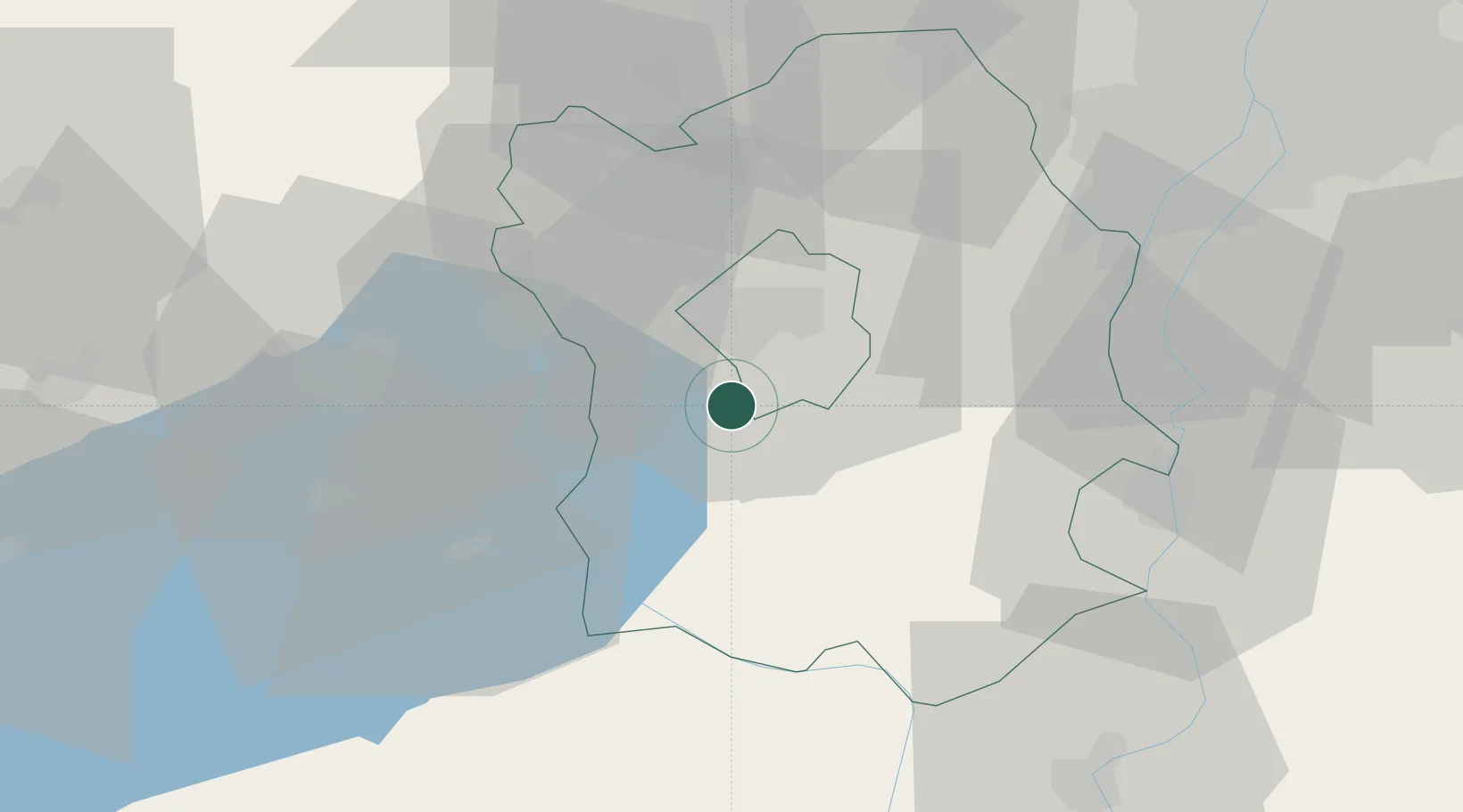
Hub Profile
Place type
Populated place
Region
Fejér
Time zone
Europe/Budapest
Elevation
109 m
Location
Nearby Logistics Neighbours
Cities
- 1Szabadbattyán4 km
- 2Sárszentmihály9 km
- 3Iszkaszentgyörgy18 km
- 4Enying20 km
- 5Sukoró23 km
Ports
- 1Senj357 km
- 2Bakar358 km
- 3Rijeka Luka362 km
- 4Omisalj362 km
- 5Zaliv Rasa404 km
Airports
- 1Tököl Airport53 km
- 2Kalocsa-Foktő Airfield72 km
- 3Győr-Pér Airport75 km
- 4Budapest Liszt Ferenc International Airport76 km
- 5Taszár Air Base85 km
Trade Zones
- 1Göd Special Economic Zone88 km
- 2Subotica Free Zone146 km
- 3Apatin Free Zone162 km
- 4Sjever Free Zone180 km
- 5Osijek Free Zone196 km
DatabookThe Record of Consolidated Knowledge
Hungary beyond logistics?