Transport Functions
Multimodal
Hub Profile
Place type
Populated place
Region
Borsod-Abaúj-Zemplén
Population
2,677
Time zone
Europe/Budapest
Elevation
102 m
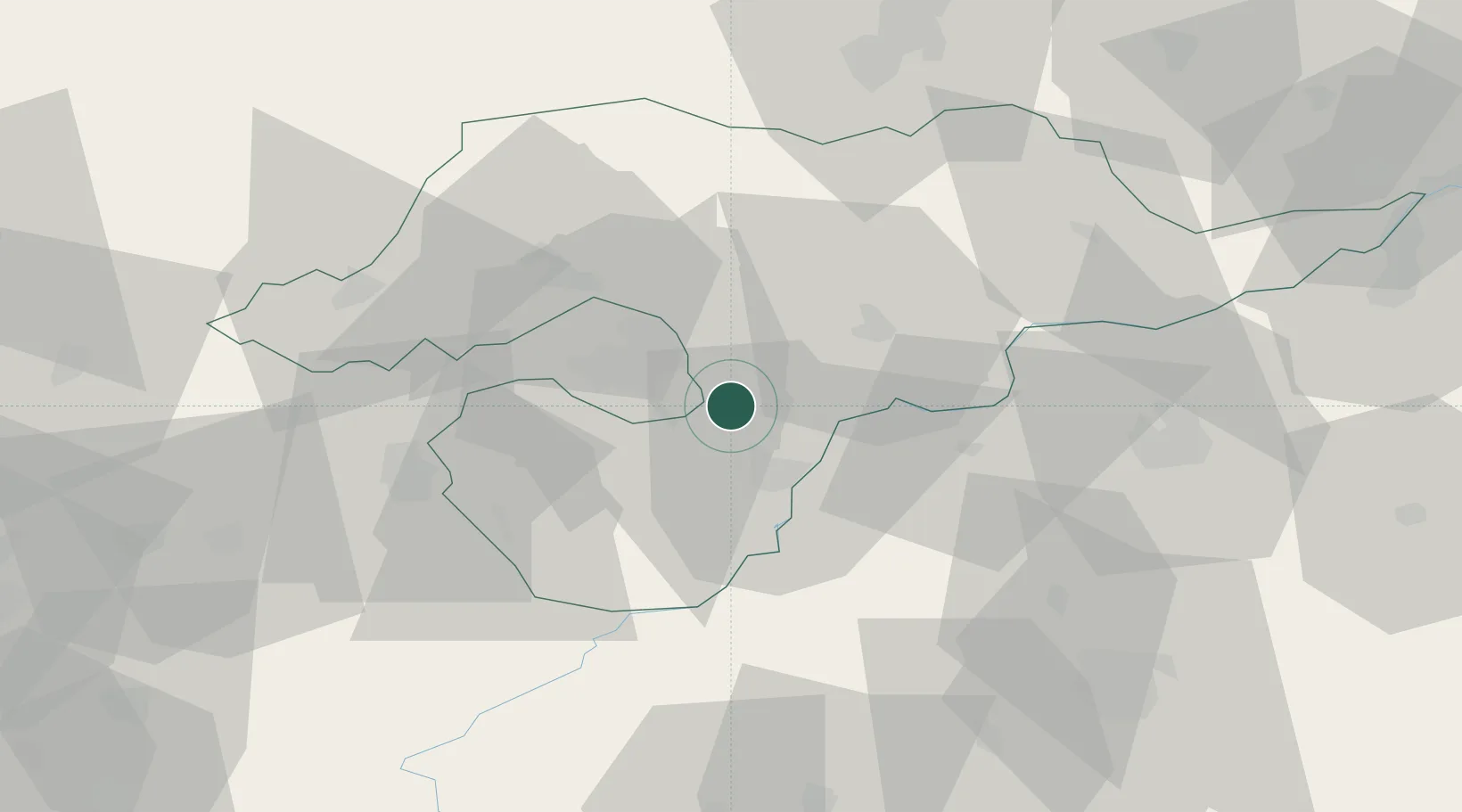
Location
Nearby Logistics Neighbours
Cities
- 1Alsozsolca6 km
- 2Hejokurt19 km
- 3Polgar22 km
- 4Gelej26 km
- 5Sajószentpéter27 km
Ports
- 1Senj574 km
- 2Bakar576 km
- 3Omisalj580 km
- 4Rijeka Luka580 km
- 5Dugi Rat609 km
Airports
- 1Košice International Airport73 km
- 2Debrecen International Airport78 km
- 3Szolnok Air Base115 km
- 4Uzhhorod International Airport118 km
- 5Poprad-Tatry Airport127 km
Trade Zones
- 1Customs Free Zone Zahony98 km
- 2Transcarpathian Special Economic Zone (Zakarpattia)119 km
- 3Göd Special Economic Zone139 km
- 4Free Zone Curtici Arad189 km
- 5VGP Park Arad208 km
DatabookThe Record of Consolidated Knowledge
Hungary beyond logistics?