Transport Functions
Port
Road
Hub Profile
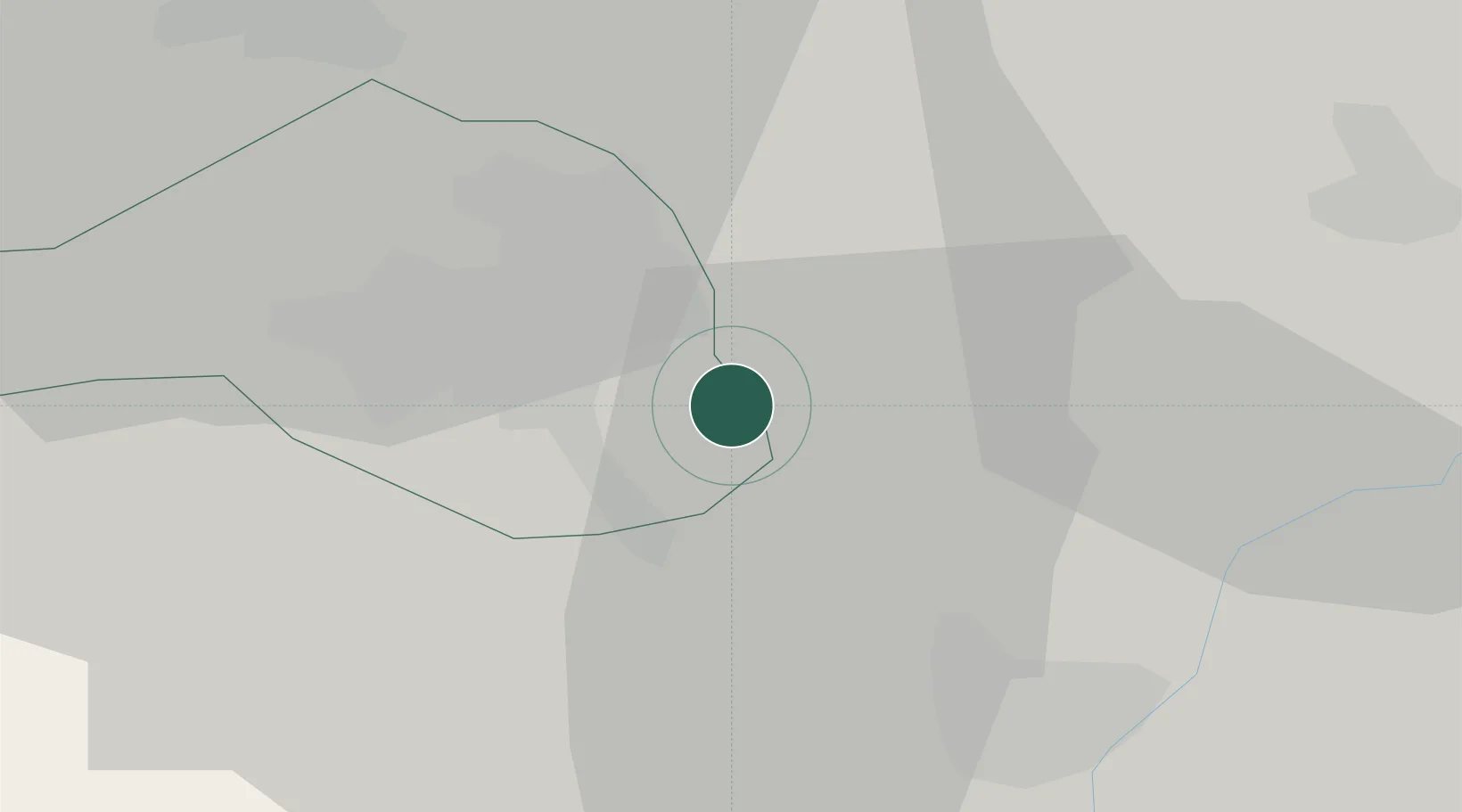
Place type
Populated place
Region
Borsod-Abaúj-Zemplén
Population
6,044
Time zone
Europe/Budapest
Elevation
113 m
Location
Nearby Logistics Neighbours
Cities
- 1Bocs6 km
- 2Sajószentpéter21 km
- 3Hejokurt24 km
- 4Fuezesabony26 km
- 5Kazincbarcika27 km
Ports
- 1Senj572 km
- 2Bakar574 km
- 3Omisalj578 km
- 4Rijeka Luka578 km
- 5Dugi Rat609 km
Airports
- 1Košice International Airport71 km
- 2Debrecen International Airport84 km
- 3Szolnok Air Base116 km
- 4Uzhhorod International Airport120 km
- 5Poprad-Tatry Airport121 km
Trade Zones
- 1Customs Free Zone Zahony101 km
- 2Transcarpathian Special Economic Zone (Zakarpattia)121 km
- 3Göd Special Economic Zone135 km
- 4Free Zone Curtici Arad193 km
- 5VGP Park Arad212 km
DatabookThe Record of Consolidated Knowledge
Hungary beyond logistics?