Transport Functions
Multimodal
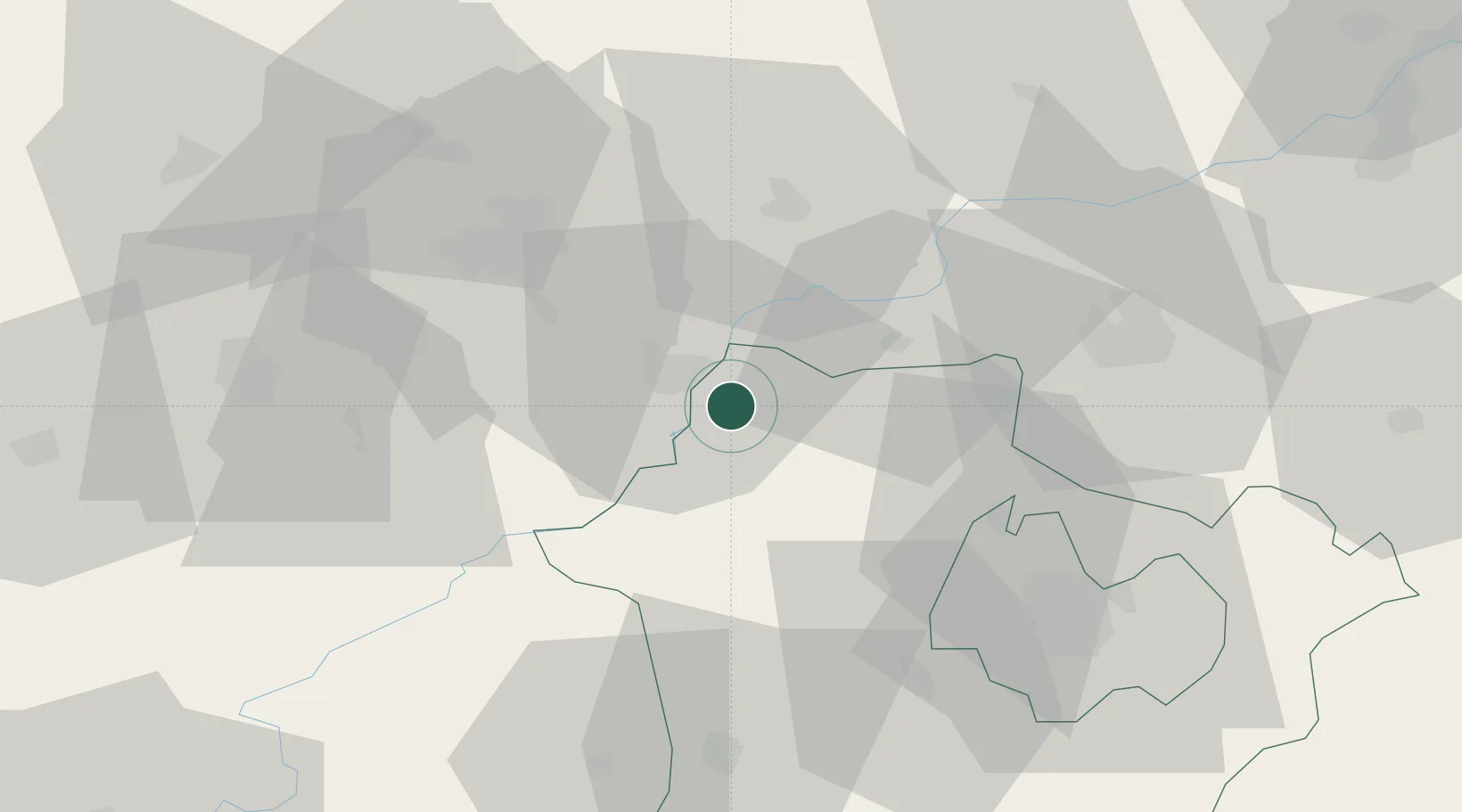
Hub Profile
Place type
Populated place
Region
Hajdú-Bihar
Population
8,347
Time zone
Europe/Budapest
Elevation
91 m
Location
Nearby Logistics Neighbours
Cities
- 1Hejokurt9 km
- 2Szorgalmatos22 km
- 3Bocs22 km
- 4Gelej25 km
- 5Tiszalök26 km
Ports
- 1Senj574 km
- 2Bakar578 km
- 3Omisalj582 km
- 4Rijeka Luka583 km
- 5Braila600 km
Airports
- 1Debrecen International Airport56 km
- 2Košice International Airport89 km
- 3Szolnok Air Base106 km
- 4Oradea International Airport111 km
- 5Uzhhorod International Airport120 km
Trade Zones
- 1Customs Free Zone Zahony97 km
- 2Transcarpathian Special Economic Zone (Zakarpattia)121 km
- 3Göd Special Economic Zone147 km
- 4Free Zone Curtici Arad169 km
- 5VGP Park Arad188 km
DatabookThe Record of Consolidated Knowledge
Hungary beyond logistics?