Transport Functions
Multimodal
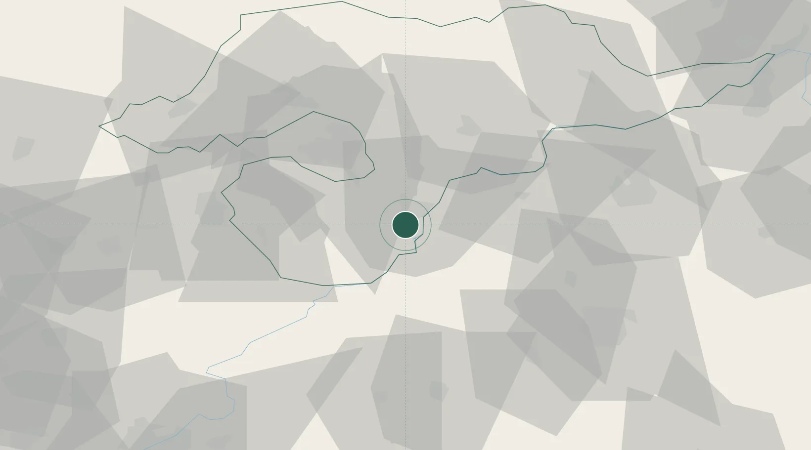
Hub Profile
Place type
Populated place
Region
Borsod-Abaúj-Zemplén
Time zone
Europe/Budapest
Elevation
88 m
Location
Nearby Logistics Neighbours
Cities
- 1Polgar9 km
- 2Gelej17 km
- 3Bocs19 km
- 4Alsozsolca24 km
- 5Szorgalmatos30 km
Ports
- 1Senj567 km
- 2Bakar570 km
- 3Omisalj574 km
- 4Rijeka Luka575 km
- 5Dugi Rat596 km
Airports
- 1Debrecen International Airport62 km
- 2Košice International Airport90 km
- 3Szolnok Air Base101 km
- 4Oradea International Airport116 km
- 5Uzhhorod International Airport127 km
Trade Zones
- 1Customs Free Zone Zahony104 km
- 2Transcarpathian Special Economic Zone (Zakarpattia)127 km
- 3Göd Special Economic Zone139 km
- 4Free Zone Curtici Arad170 km
- 5VGP Park Arad189 km
DatabookThe Record of Consolidated Knowledge
Hungary beyond logistics?