Transport Functions
Port
Rail
Road
Hub Profile
Place type
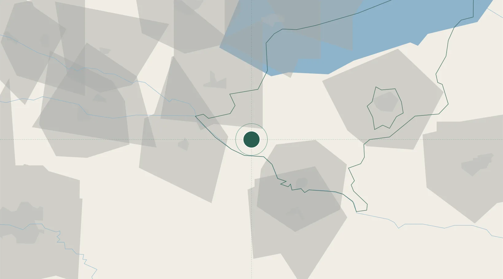
Populated place
Region
Somogy County
Population
2,694
Time zone
Europe/Budapest
Elevation
126 m
Location
Nearby Logistics Neighbours
Cities
- 1Csurgo9 km
- 2Botovo18 km
- 3Koprivnica26 km
- 4Murakeresztúr26 km
- 5Kotoriba31 km
Ports
- 1Senj221 km
- 2Bakar226 km
- 3Omisalj230 km
- 4Rijeka Luka232 km
- 5Muggia270 km
Airports
Trade Zones
- 1Sjever Free Zone63 km
- 2Krapina-Zagorje Free Zone98 km
- 3PJ Free Zone Zagreb108 km
- 4Duro Daković Free Zone133 km
- 5Osijek Free Zone141 km
DatabookThe Record of Consolidated Knowledge
Hungary beyond logistics?