Transport Functions
Multimodal
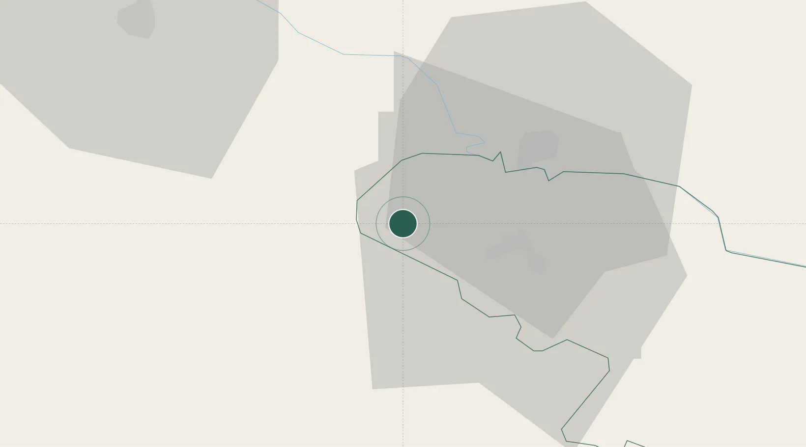
Hub Profile
Place type
Populated place
Region
Virovitica-Podravina
Population
268
Time zone
Europe/Zagreb
Elevation
174 m
Location
Nearby Logistics Neighbours
Cities
- 1Virovitica16 km
- 2Barcs21 km
- 3Bjelovar28 km
- 4Daruvar33 km
- 5Berzence35 km
Ports
- 1Senj206 km
- 2Bakar217 km
- 3Omisalj219 km
- 4Rijeka Luka224 km
- 5Zadar251 km
Airports
Trade Zones
- 1Sjever Free Zone80 km
- 2Duro Daković Free Zone101 km
- 3PJ Free Zone Zagreb103 km
- 4Krapina-Zagorje Free Zone107 km
- 5Osijek Free Zone116 km
DatabookThe Record of Consolidated Knowledge
Croatia beyond logistics?