Transport Functions
Multimodal
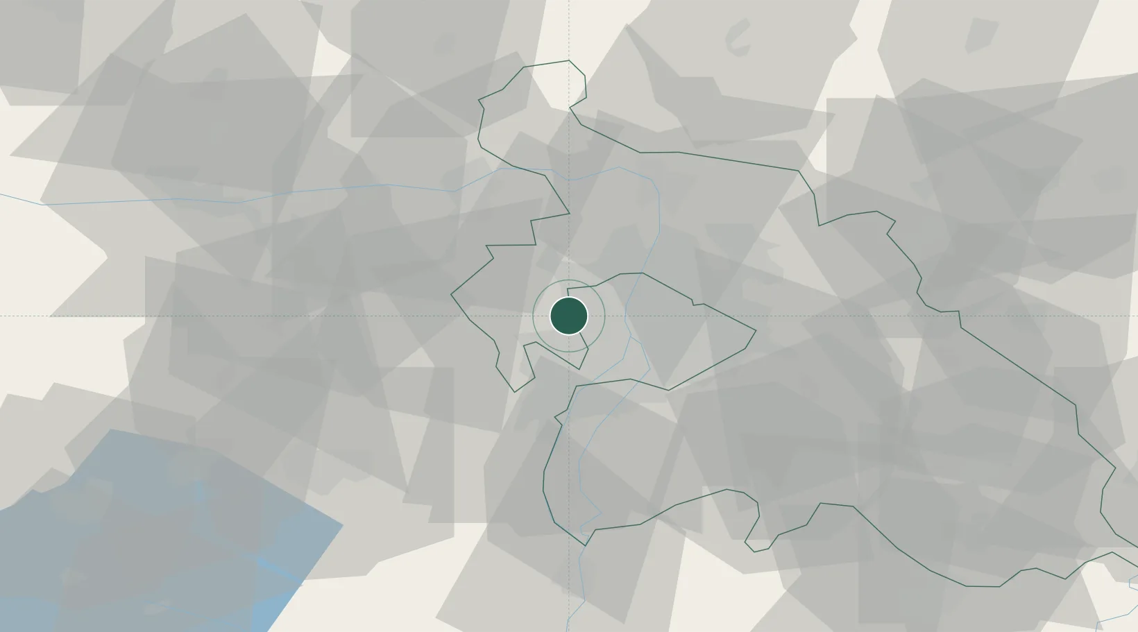
Hub Profile
Place type
Provincial seat
Region
Pest County
Population
14,330
Time zone
Europe/Budapest
Elevation
234 m
Location
Nearby Logistics Neighbours
Cities
- 1Solymar8 km
- 2Budaörs8 km
- 3Biatorbágy10 km
- 4Lágymányos10 km
- 5Újpest13 km
Ports
- 1Bakar418 km
- 2Senj419 km
- 3Rijeka Luka422 km
- 4Omisalj422 km
- 5Zaliv Rasa464 km
Airports
- 1Tököl Airport19 km
- 2Budapest Liszt Ferenc International Airport27 km
- 3Győr-Pér Airport86 km
- 4Kecskemét Air Base91 km
- 5Kalocsa-Foktő Airfield107 km
Trade Zones
- 1Göd Special Economic Zone25 km
- 2Subotica Free Zone169 km
- 3Veselí nad Moravou Industrial Zone197 km
- 4Apatin Free Zone204 km
- 5Free Zone Curtici Arad221 km
DatabookThe Record of Consolidated Knowledge
Hungary beyond logistics?