Transport Functions
Port
Hub Profile
Region
13
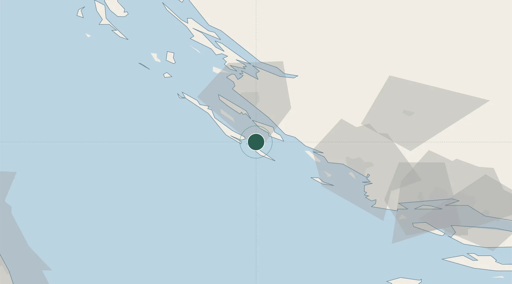
Location
Nearby Logistics Neighbours
Airports
- 1Zadar Airport24 km
- 2Udbina Airfield85 km
- 3Split Saint Jerome Airport90 km
- 4Brač Airport131 km
- 5Pula Airport156 km
Trade Zones
- 1Port of Split Free Zone101 km
- 2Split-Dalmatia Free Zone103 km
- 3Port of Pula Free Zone159 km
- 4Port of Rijeka Free Zone167 km
- 5Free Zone Kukuljanovo173 km
DatabookThe Record of Consolidated Knowledge
Croatia beyond logistics?