UN/LOCODE hub · Croatia
HRSAL

Sali

43.9333°, 15.1667°
726
Population
2
Transport functions

Transport Functions

Port
Road
UN/LOCODE

Hub Profile

Place type
Provincial seat
GeoNames
Region
Zadar
GeoNames
Population
726
GeoNames
Time zone
Europe/Zagreb
GeoNames
Elevation
33 m
GeoNames

Location

Location of HRSAL
Natural Earth 10m (public domain) · Zadar · HRSAL · 43.93, 15.17GoogleOSMYandex

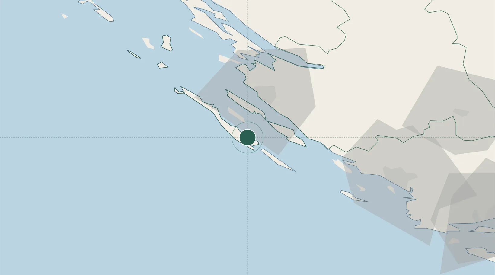
Nearby Logistics Neighbours

Cities
  1. 1Uvala Mir6 km
  2. 2Zut Marina11 km
  3. 3Lamjane11 km
  4. 4Mali Iz11 km
  5. 5Kukljica13 km
Nearest neighbours — logibook spatial index (haversine) over the source coordinates
Ports
  1. 1Zadar21 km
  2. 2Sibenik62 km
  3. 3Split113 km
  4. 4Senj119 km
  5. 5Dugi Rat131 km
Nearest neighbours — logibook spatial index (haversine) over the source coordinates
Airports
  1. 1Zadar Airport24 km
  2. 2Udbina Airfield85 km
  3. 3Split Saint Jerome Airport101 km
  4. 4Brač Airport142 km
  5. 5Pula Airport146 km
Nearest neighbours — logibook spatial index (haversine) over the source coordinates
Trade Zones
  1. 1Port of Split Free Zone111 km
  2. 2Split-Dalmatia Free Zone114 km
  3. 3Port of Pula Free Zone148 km
  4. 4Port of Rijeka Free Zone158 km
  5. 5Free Zone Kukuljanovo164 km
Nearest neighbours — logibook spatial index (haversine) over the source coordinates
DatabookThe Record of Consolidated Knowledge
Croatia beyond logistics?
Browse databook

All Sources

LocationsUN/LOCODE
UN/LOCODE — free
LocationsGeoNames
CC BY 4.0
Portsthe NGA World Port Index
Public domain (US gov)
AirportsOurAirports
Public domain
Trade Zonesthe World Bank SEZ database
CC BY 4.0
Trade ZonesOpen Zone Map
CC BY
← Croatia locations