UN/LOCODE hub · Croatia
HRUVM

Uvala Mir

43.8833°, 15.1500°
1
Transport functions

Transport Functions

Port
UN/LOCODE

Hub Profile

Region
13
GeoNames

Location

Location of HRUVM
Natural Earth 10m (public domain) · 13 · HRUVM · 43.88, 15.15GoogleOSMYandex

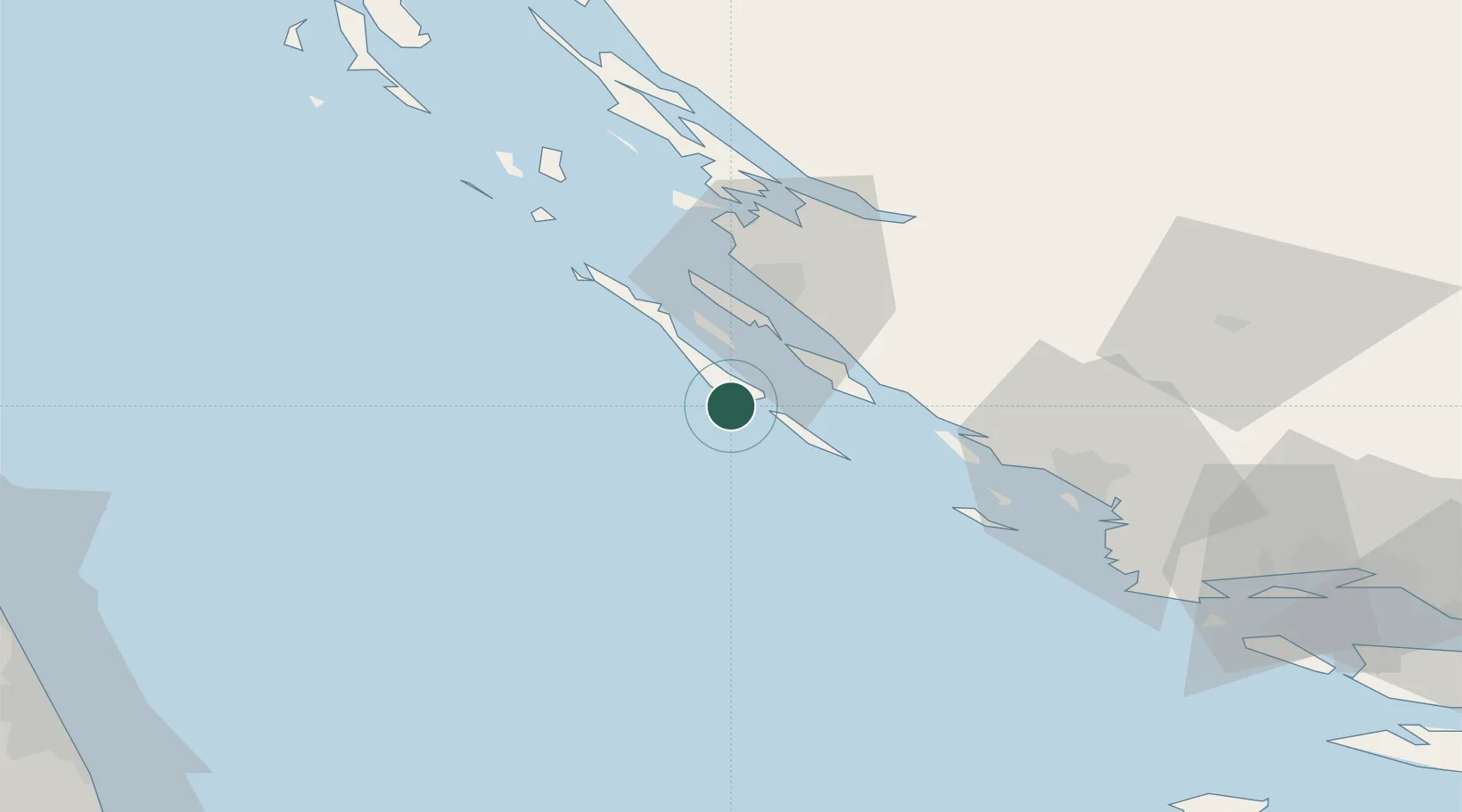
Nearby Logistics Neighbours

Cities
  1. 1Sali6 km
  2. 2Zut Marina11 km
  3. 3Mali Iz17 km
  4. 4Lamjane17 km
  5. 5Kukljica19 km
Nearest neighbours — logibook spatial index (haversine) over the source coordinates
Ports
  1. 1Zadar27 km
  2. 2Sibenik61 km
  3. 3Split112 km
  4. 4Senj124 km
  5. 5Dugi Rat130 km
Nearest neighbours — logibook spatial index (haversine) over the source coordinates
Airports
  1. 1Zadar Airport29 km
  2. 2Udbina Airfield90 km
  3. 3Split Saint Jerome Airport100 km
  4. 4Brač Airport140 km
  5. 5Marche Airport147 km
Nearest neighbours — logibook spatial index (haversine) over the source coordinates
Trade Zones
  1. 1Port of Split Free Zone110 km
  2. 2Split-Dalmatia Free Zone113 km
  3. 3Port of Pula Free Zone151 km
  4. 4Port of Rijeka Free Zone162 km
  5. 5Free Zone Kukuljanovo169 km
Nearest neighbours — logibook spatial index (haversine) over the source coordinates
DatabookThe Record of Consolidated Knowledge
Croatia beyond logistics?
Browse databook

All Sources

LocationsUN/LOCODE
UN/LOCODE — free
Portsthe NGA World Port Index
Public domain (US gov)
AirportsOurAirports
Public domain
Trade Zonesthe World Bank SEZ database
CC BY 4.0
Trade ZonesOpen Zone Map
CC BY
← Croatia locations