Transport Functions
Rail
Road
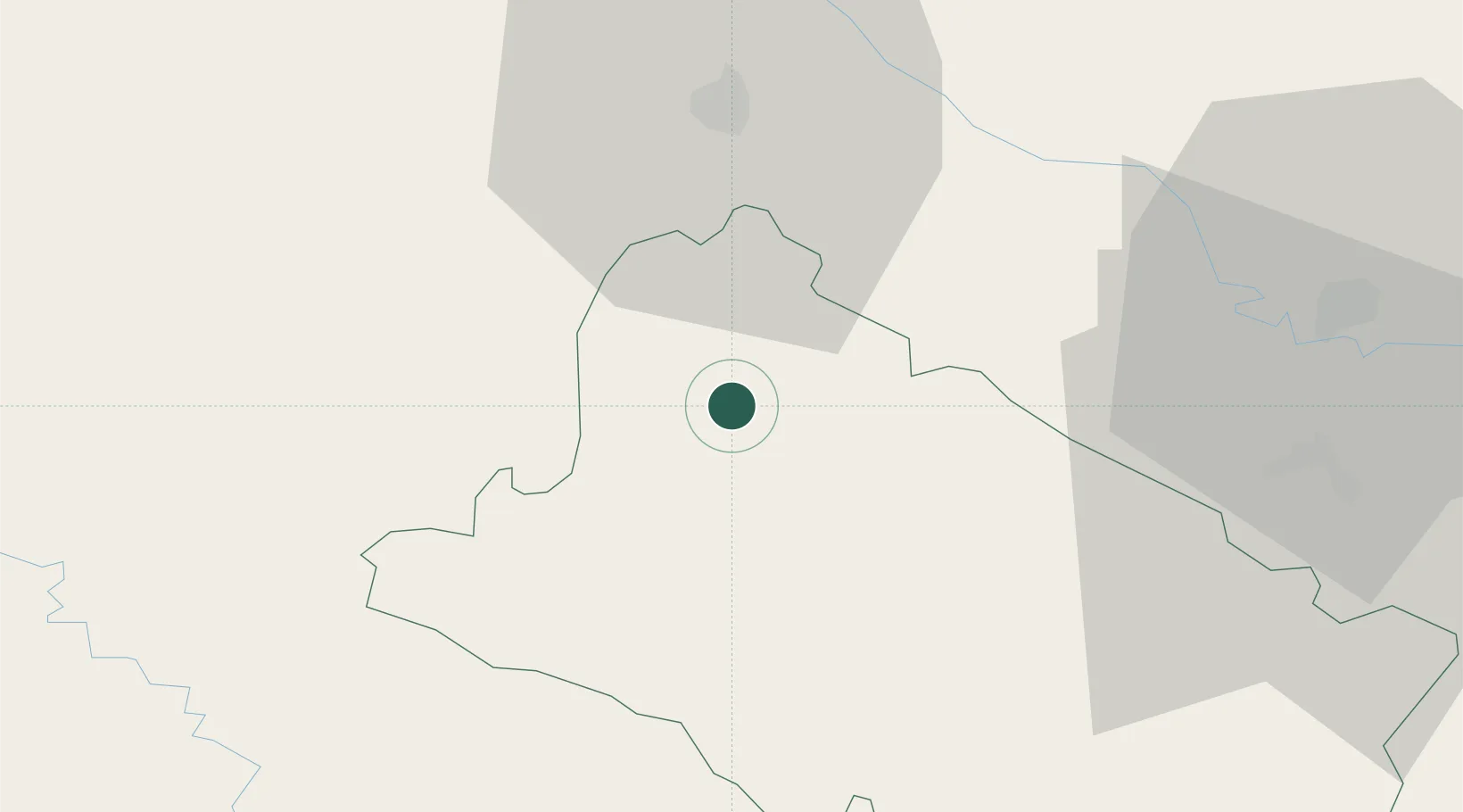
Hub Profile
Place type
Regional capital
Region
Bjelovar-Bilogora
Population
24,392
Time zone
Europe/Zagreb
Elevation
113 m
Location
Nearby Logistics Neighbours
Cities
- 1Krizevci27 km
- 2Koprivnica28 km
- 3Turnasica28 km
- 4Zelina31 km
- 5Vrbovec32 km
Ports
- 1Senj182 km
- 2Bakar191 km
- 3Omisalj193 km
- 4Rijeka Luka197 km
- 5Zaliv Rasa236 km
Airports
- 1Zagreb Franjo Tuđman International Airport62 km
- 2Hévíz–Balaton Airport91 km
- 3Taszár Air Base100 km
- 4Cerklje ob Krki Air Base101 km
- 5Maribor Edvard Rusjan Airport109 km
Trade Zones
- 1Sjever Free Zone58 km
- 2PJ Free Zone Zagreb75 km
- 3Krapina-Zagorje Free Zone79 km
- 4Duro Daković Free Zone122 km
- 5Osijek Free Zone142 km
DatabookThe Record of Consolidated Knowledge
Croatia beyond logistics?