Transport Functions
Rail
Road
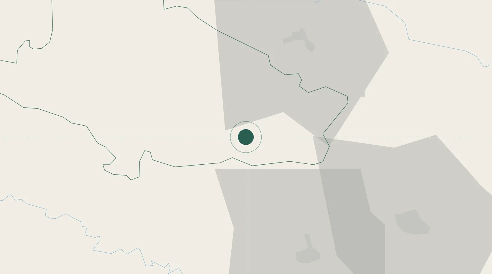
Hub Profile
Place type
Provincial seat
Region
Bjelovar-Bilogora
Population
7,440
Time zone
Europe/Zagreb
Elevation
160 m
Location
Nearby Logistics Neighbours
Cities
- 1Virovitica29 km
- 2Vinosady32 km
- 3Turnasica33 km
- 4Kutina37 km
- 5Nova Gradiska39 km
Ports
- 1Senj193 km
- 2Bakar212 km
- 3Omisalj212 km
- 4Rijeka Luka219 km
- 5Zadar227 km
Airports
Trade Zones
- 1Duro Daković Free Zone77 km
- 2Osijek Free Zone101 km
- 3Sjever Free Zone104 km
- 4PJ Free Zone Zagreb107 km
- 5Krapina-Zagorje Free Zone122 km
DatabookThe Record of Consolidated Knowledge
Croatia beyond logistics?