Transport Functions
Port
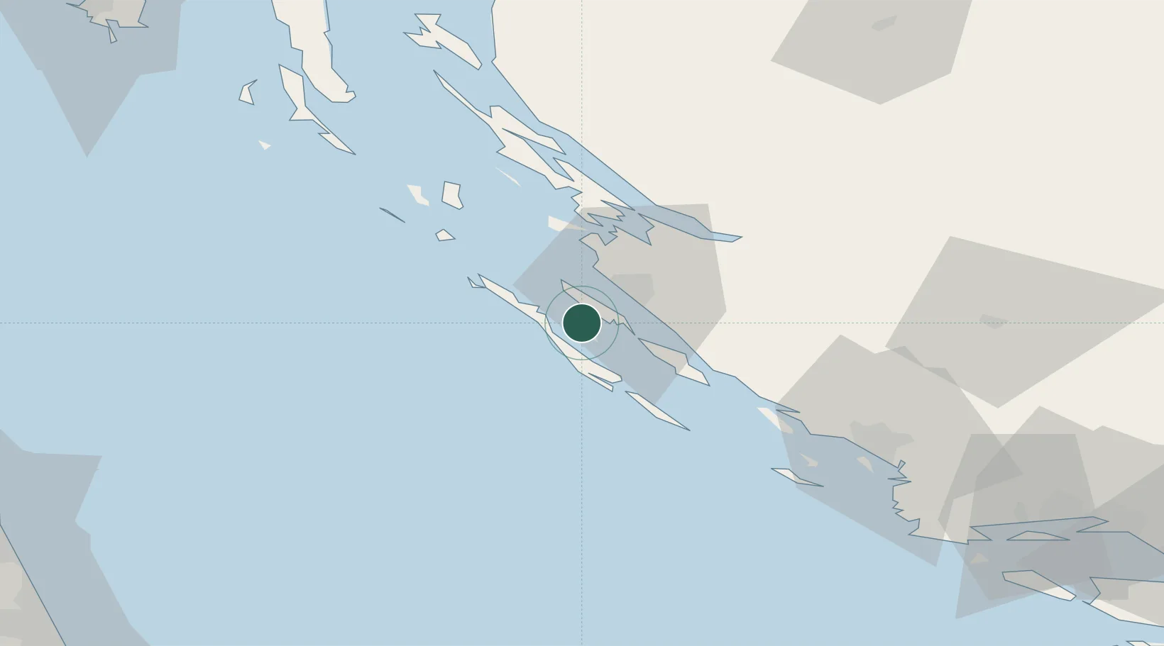
Hub Profile
Place type
Populated place
Region
Zadar
Population
323
Time zone
Europe/Zagreb
Elevation
9 m
Location
Nearby Logistics Neighbours
Cities
- 1Mali Iz2 km
- 2Kali7 km
- 3Lamjane7 km
- 4Preko8 km
- 5Brbinj/Lucina10 km
Airports
- 1Zadar Airport20 km
- 2Udbina Airfield77 km
- 3Split Saint Jerome Airport111 km
- 4Pula Airport133 km
- 5Rijeka Airport137 km
Trade Zones
- 1Port of Split Free Zone121 km
- 2Split-Dalmatia Free Zone123 km
- 3Port of Pula Free Zone136 km
- 4Port of Rijeka Free Zone144 km
- 5Free Zone Kukuljanovo151 km
DatabookThe Record of Consolidated Knowledge
Croatia beyond logistics?