Transport Functions
Port
Road
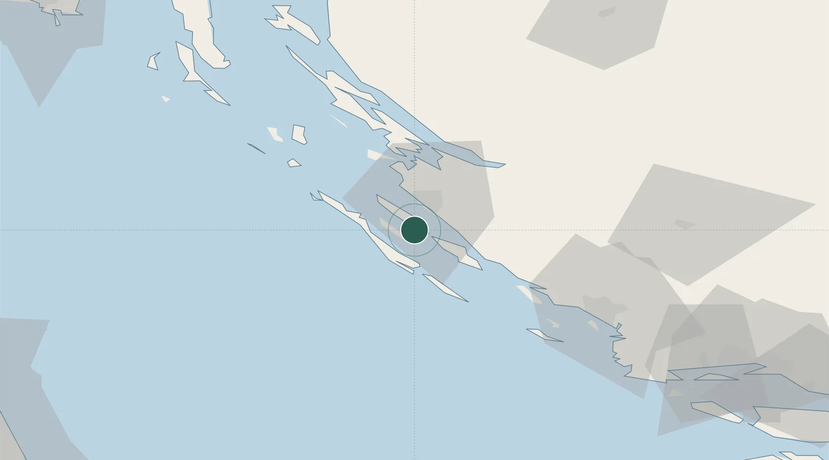
Location
Nearby Logistics Neighbours
Airports
- 1Zadar Airport14 km
- 2Udbina Airfield74 km
- 3Split Saint Jerome Airport104 km
- 4Pula Airport139 km
- 5Rijeka Airport141 km
Trade Zones
- 1Port of Split Free Zone114 km
- 2Split-Dalmatia Free Zone116 km
- 3Port of Pula Free Zone142 km
- 4Port of Rijeka Free Zone149 km
- 5Free Zone Kukuljanovo155 km
DatabookThe Record of Consolidated Knowledge
Croatia beyond logistics?