Transport Functions
Port
Hub Profile
Place type
Provincial seat
Region
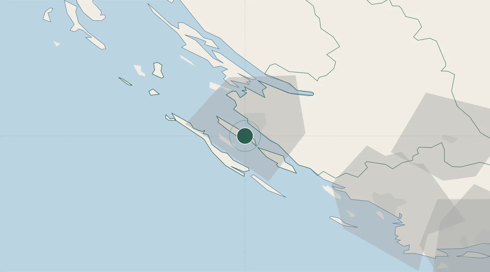
Zadar
Population
1,585
Time zone
Europe/Zagreb
Elevation
29 m
Location
Nearby Logistics Neighbours
Airports
- 1Zadar Airport13 km
- 2Udbina Airfield71 km
- 3Split Saint Jerome Airport106 km
- 4Pula Airport137 km
- 5Rijeka Airport137 km
Trade Zones
- 1Port of Split Free Zone116 km
- 2Split-Dalmatia Free Zone118 km
- 3Port of Pula Free Zone140 km
- 4Port of Rijeka Free Zone146 km
- 5Free Zone Kukuljanovo151 km
DatabookThe Record of Consolidated Knowledge
Croatia beyond logistics?