Transport Functions
Port
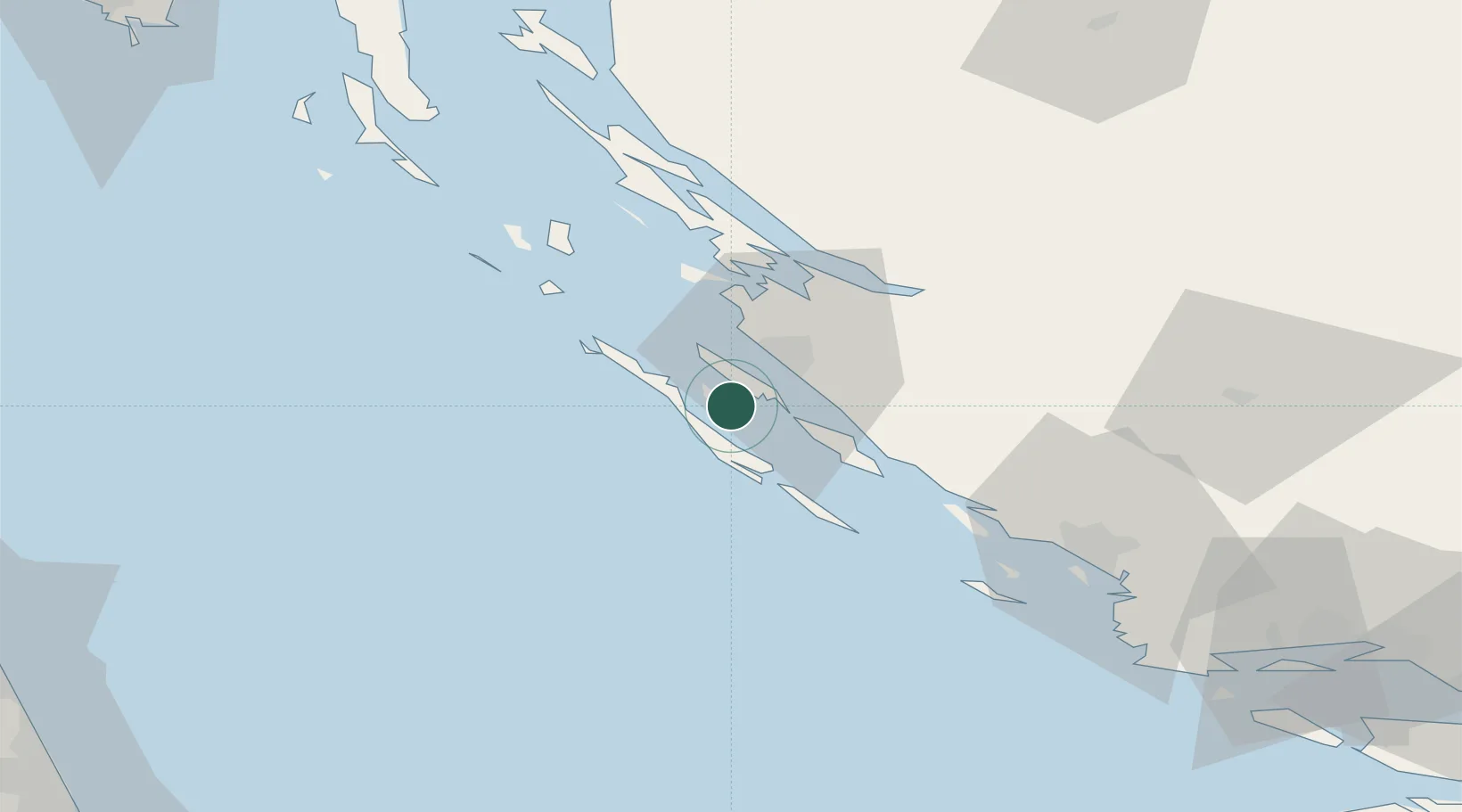
Hub Profile
Place type
Populated place
Region
Zadar
Population
193
Time zone
Europe/Zagreb
Elevation
1 m
Location
Nearby Logistics Neighbours
Ports
- 1Zadar11 km
- 2Sibenik69 km
- 3Senj107 km
- 4Split120 km
- 5Civitanova Marche138 km
Airports
- 1Zadar Airport19 km
- 2Udbina Airfield78 km
- 3Split Saint Jerome Airport109 km
- 4Pula Airport136 km
- 5Rijeka Airport139 km
Trade Zones
- 1Port of Split Free Zone119 km
- 2Split-Dalmatia Free Zone121 km
- 3Port of Pula Free Zone138 km
- 4Port of Rijeka Free Zone146 km
- 5Free Zone Kukuljanovo153 km
DatabookThe Record of Consolidated Knowledge
Croatia beyond logistics?