Transport Functions
Port
Road
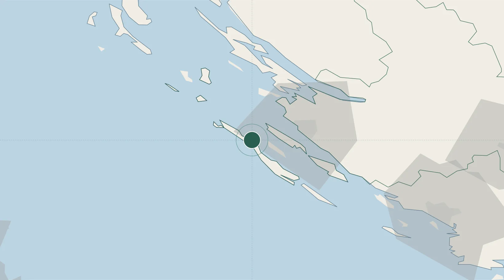
Location
Nearby Logistics Neighbours
Ports
- 1Zadar18 km
- 2Sibenik81 km
- 3Senj100 km
- 4Pula130 km
- 5Zaliv Rasa131 km
Airports
- 1Zadar Airport28 km
- 2Udbina Airfield81 km
- 3Split Saint Jerome Airport121 km
- 4Pula Airport124 km
- 5Rijeka Airport131 km
Trade Zones
- 1Port of Pula Free Zone127 km
- 2Port of Split Free Zone131 km
- 3Split-Dalmatia Free Zone133 km
- 4Port of Rijeka Free Zone137 km
- 5Free Zone Kukuljanovo145 km
DatabookThe Record of Consolidated Knowledge
Croatia beyond logistics?