UN/LOCODE hub · Croatia
HRTRO

Trogir

43.5000°, 16.2500°
10,107
Population
2
Transport functions

Transport Functions

Port
Road
UN/LOCODE

Hub Profile

Place type
Provincial seat
GeoNames
Region
Split-Dalmatia
GeoNames
Population
10,107
GeoNames
Time zone
Europe/Zagreb
GeoNames
Elevation
20 m
GeoNames

Location

Location of HRTRO
Natural Earth 10m (public domain) · Split-Dalmatia · HRTRO · 43.50, 16.25GoogleOSMYandex

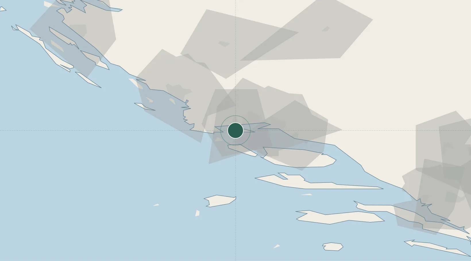
Nearby Logistics Neighbours

Cities
  1. 1Split8 km
  2. 2Slatine8 km
  3. 3Rogac12 km
  4. 4Sucurac15 km
  5. 5Sveti Kajo17 km
Nearest neighbours — logibook spatial index (haversine) over the source coordinates
Ports
  1. 1Split15 km
  2. 2Dugi Rat33 km
  3. 3Sibenik39 km
  4. 4Korcula95 km
  5. 5Zadar108 km
Nearest neighbours — logibook spatial index (haversine) over the source coordinates
Airports
  1. 1Split Saint Jerome Airport6 km
  2. 2Brač Airport42 km
  3. 3Zadar Airport98 km
  4. 4Udbina Airfield124 km
  5. 5Mostar International Airport131 km
Nearest neighbours — logibook spatial index (haversine) over the source coordinates
Trade Zones
  1. 1Port of Split Free Zone14 km
  2. 2Split-Dalmatia Free Zone17 km
  3. 3Port of Ploče Free Zone108 km
  4. 4Free Zone Hercegovina127 km
  5. 5Free Zone Visoko163 km
Nearest neighbours — logibook spatial index (haversine) over the source coordinates
DatabookThe Record of Consolidated Knowledge
Croatia beyond logistics?
Browse databook

All Sources

LocationsUN/LOCODE
UN/LOCODE — free
LocationsGeoNames
CC BY 4.0
Portsthe NGA World Port Index
Public domain (US gov)
AirportsOurAirports
Public domain
Trade Zonesthe World Bank SEZ database
CC BY 4.0
Trade ZonesOpen Zone Map
CC BY
← Croatia locations