UN/LOCODE hub · Croatia
HRTNO

Tisno

43.8000°, 15.6500°
1,192
Population
1
Transport functions

Transport Functions

Port
UN/LOCODE

Hub Profile

Place type
Provincial seat
GeoNames
Region
Šibenik-Knin
GeoNames
Population
1,192
GeoNames
Time zone
Europe/Zagreb
GeoNames
Elevation
56 m
GeoNames

Location

Location of HRTNO
Natural Earth 10m (public domain) · Šibenik-Knin · HRTNO · 43.80, 15.65GoogleOSMYandex

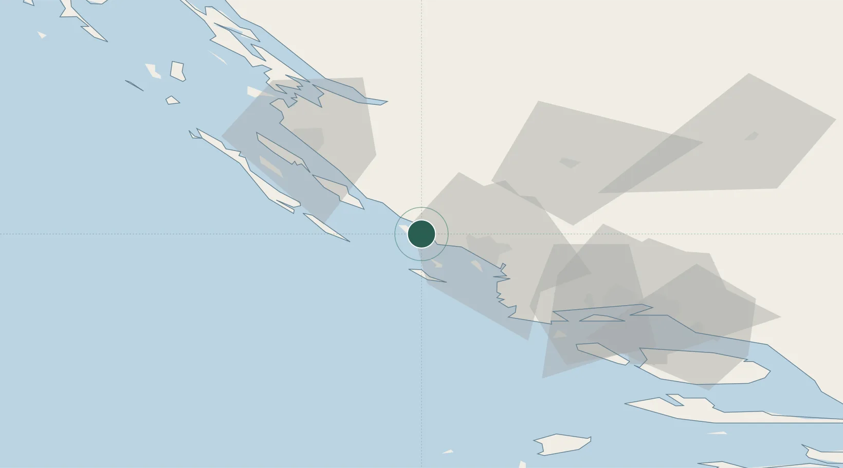
Nearby Logistics Neighbours

Cities
  1. 1Murter4 km
  2. 2Tribunj10 km
  3. 3Vodice10 km
  4. 4Prvic Sepurine13 km
  5. 5Kaprije14 km
Nearest neighbours — logibook spatial index (haversine) over the source coordinates
Ports
  1. 1Sibenik20 km
  2. 2Zadar49 km
  3. 3Split71 km
  4. 4Dugi Rat89 km
  5. 5Senj144 km
Nearest neighbours — logibook spatial index (haversine) over the source coordinates
Airports
  1. 1Zadar Airport41 km
  2. 2Split Saint Jerome Airport60 km
  3. 3Udbina Airfield85 km
  4. 4Brač Airport101 km
  5. 5Rijeka Airport179 km
Nearest neighbours — logibook spatial index (haversine) over the source coordinates
Trade Zones
  1. 1Port of Split Free Zone70 km
  2. 2Split-Dalmatia Free Zone72 km
  3. 3Port of Ploče Free Zone167 km
  4. 4Free Zone Hercegovina182 km
  5. 5Port of Pula Free Zone187 km
Nearest neighbours — logibook spatial index (haversine) over the source coordinates
DatabookThe Record of Consolidated Knowledge
Croatia beyond logistics?
Browse databook

All Sources

LocationsUN/LOCODE
UN/LOCODE — free
LocationsGeoNames
CC BY 4.0
Portsthe NGA World Port Index
Public domain (US gov)
AirportsOurAirports
Public domain
Trade Zonesthe World Bank SEZ database
CC BY 4.0
Trade ZonesOpen Zone Map
CC BY
← Croatia locations