Transport Functions
Port
Road
Hub Profile
Place type
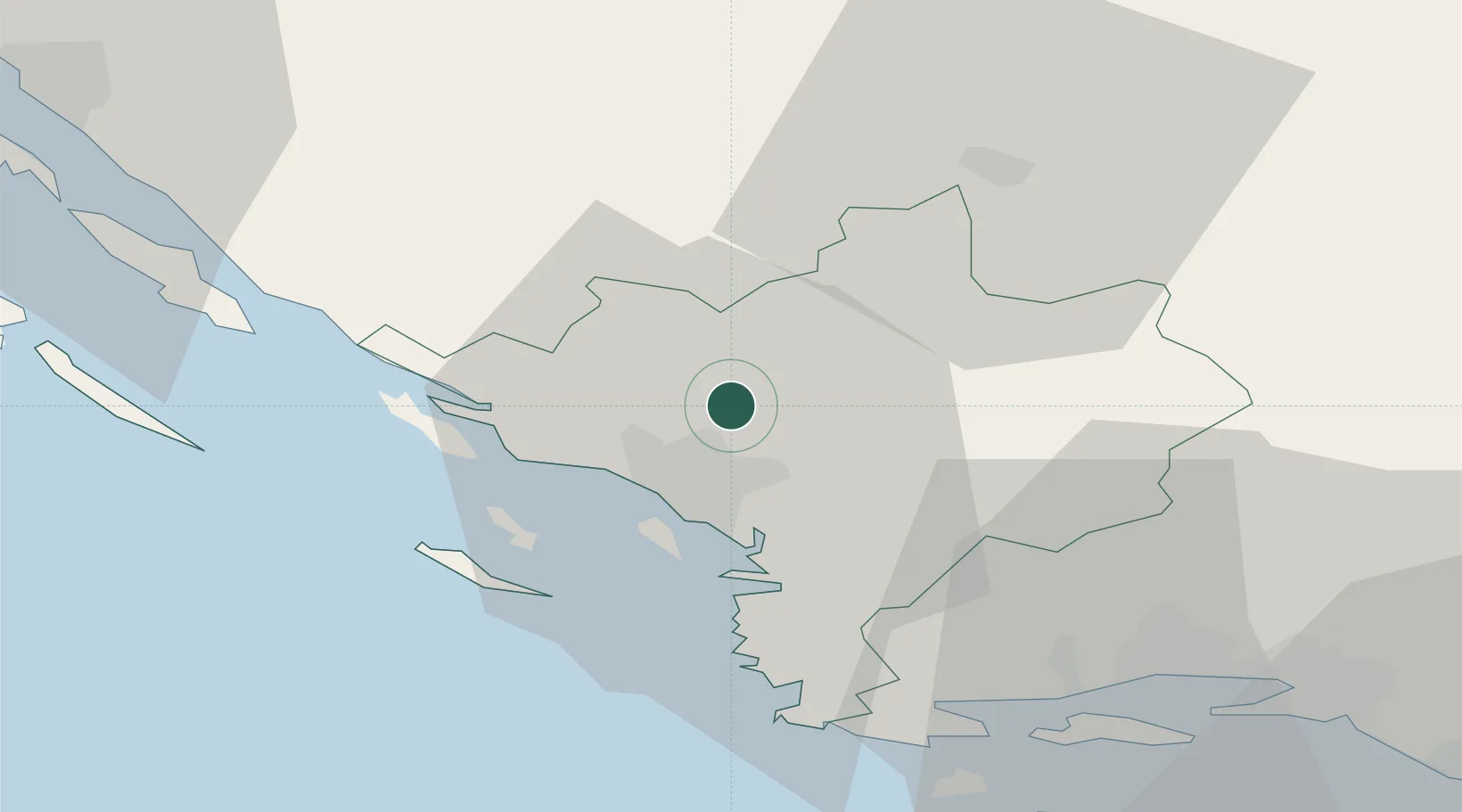
Provincial seat
Region
Šibenik-Knin
Population
508
Time zone
Europe/Zagreb
Elevation
2 m
Location
Nearby Logistics Neighbours
Cities
- 1Sibenik10 km
- 2Jadrija12 km
- 3Vodice13 km
- 4Prvic Sepurine14 km
- 5Prvic15 km
Airports
- 1Split Saint Jerome Airport44 km
- 2Zadar Airport55 km
- 3Udbina Airfield83 km
- 4Brač Airport85 km
- 5Banja Luka International Airport166 km
Trade Zones
- 1Port of Split Free Zone53 km
- 2Split-Dalmatia Free Zone55 km
- 3Port of Ploče Free Zone150 km
- 4Free Zone Hercegovina162 km
- 5Port of Rijeka Free Zone202 km
DatabookThe Record of Consolidated Knowledge
Croatia beyond logistics?